Cankuzo night lights from space
Night Light of Cankuzo from space (Burundi) Src. Average luminocity for 10x10km area is 0.355% and for 50x50km: 0.0142%.
Analysis of Cankuzo night lights 2016
Square area 10x10 km:
 0%
0%90-99
0%80-89
0%70-79
0%60-69
0%50-59
0%40-49
0.87%30-39
0%20-29
0%10-19
0%0-9
99.13%Square area 50x50 km:
0%90-99
0%80-89
0%70-79
0%60-69
0%50-59
0%40-49
0.03%30-39
0%20-29
0%10-19
0%0-9
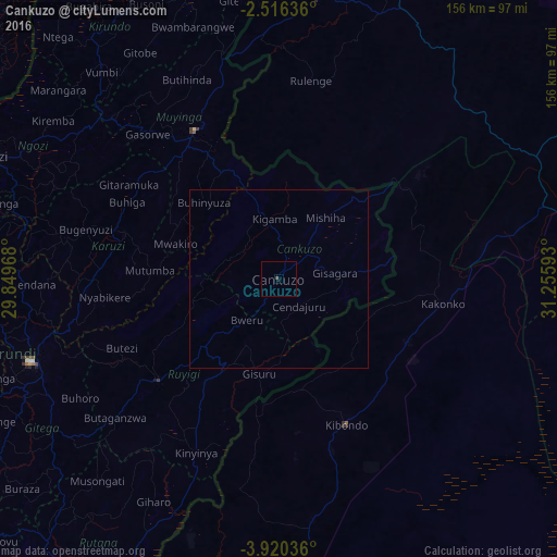
99.97%Clear (daylight) street map image can be seen on geolist.org.
Map coordinates:
2° 30' 58.9" South, 29° 50' 58.8" East
3° 13' 7" South, 30° 33' 10.1" East
3° 55' 13.3" South, 31° 15' 21.3" East
Some cities around Cankuzo sort by population:
• Muyinga
47.7 km =29.6 mi,  330°
330°
• Ruyigi
44.3 km =27.5 mi,  229°
229°
• Bugarama, TZ
38.8 km =24.1 mi,  355°
355°
• Kibondo, TZ
44.9 km =27.9 mi,  155°
155°
• Kakonko, TZ
46.2 km =28.7 mi,  98°
98°
• Rulenge, TZ
56.4 km =35 mi,  9°
9°
• Mabamba, TZ
42.6 km =26.5 mi,  187°
187°
• Karuzi
45.2 km =28.1 mi,  286°
286°
427701 (p: 6,585)
Sources (retrieved 2019-11-25):
» Earth at Night: Flat Maps 2012, 2016