Rutana night lights from space
Night Light of Rutana from space (Burundi) Src. Average luminocity for 10x10km area is 0.3095% and for 50x50km: 0.0349%.
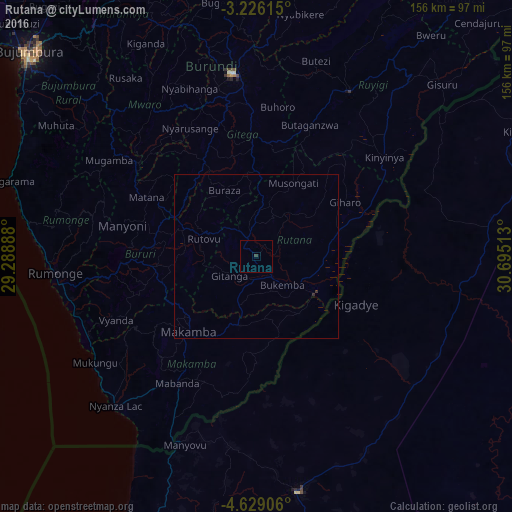
Analysis of Rutana night lights 2016
Square area 10x10 km:
100  0%
0%
90-99 0%
80-89 0%
70-79 0%
60-69 0%
50-59 0%
40-49 0%
30-39 0.87%
20-29 0%
10-19 0%
0-9 99.13%
0%90-99
0%80-89
0%70-79
0%60-69
0%50-59
0%40-49
0%30-39
0.87%20-29
0%10-19
0%0-9
99.13%Square area 50x50 km:
100 0%
90-99 0%
80-89 0%
70-79 0%
60-69 0%
50-59 0%
40-49 0%
30-39 0.06%
20-29 0.04%
10-19 0%
0-9 99.9%
0%90-99
0%80-89
0%70-79
0%60-69
0%50-59
0%40-49
0%30-39
0.06%20-29
0.04%10-19
0%0-9
99.9%Clear (daylight) street map image can be seen on geolist.org.
Map coordinates:
3° 13' 34.1" South, 29° 17' 20" East
3° 55' 40.4" South, 29° 59' 31.2" East
4° 37' 44.6" South, 30° 41' 42.5" East
Some cities around Rutana sort by population:
• Gitega
56.2 km =34.9 mi,  352°
352°
• Ruyigi
57.7 km =35.9 mi,  29°
29°
• Kasulu, TZ
73.2 km =45.5 mi,  170°
170°
• Bururi
40.8 km =25.4 mi,  266°
266°
• Makamba
31 km =19.3 mi,  222°
222°
• Mabamba, TZ
67.4 km =41.9 mi,  57°
57°
• Rumonge
61.6 km =38.3 mi, 265°
• Mwaro
56.3 km =35 mi,  325°
325°
433635 (p: 20,893)
Sources (retrieved 2019-11-25):
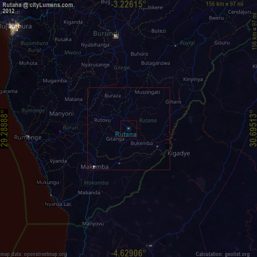
» Earth at Night: Flat Maps 2012, 2016