Gitega night lights from space
Night Light of Gitega from space (Burundi) Src. Average luminocity for 10x10km area is 7.8745% and for 50x50km: 0.3208%.
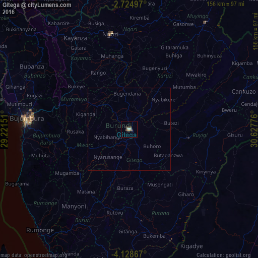
Analysis of Gitega night lights 2016
Square area 10x10 km:
100  0%
0%
90-99 2.6%
80-89 0%
70-79 0.87%
60-69 1.73%
50-59 0.22%
40-49 1.73%
30-39 2.38%
20-29 2.38%
10-19 1.95%
0-9 86.15%
0%90-99
2.6%80-89
0%70-79
0.87%60-69
1.73%50-59
0.22%40-49
1.73%30-39
2.38%20-29
2.38%10-19
1.95%0-9
86.15%Square area 50x50 km:
100 0%
90-99 0.1%
80-89 0%
70-79 0.03%
60-69 0.07%
50-59 0.01%
40-49 0.07%
30-39 0.1%
20-29 0.1%
10-19 0.08%
0-9 99.45%
0%90-99
0.1%80-89
0%70-79
0.03%60-69
0.07%50-59
0.01%40-49
0.07%30-39
0.1%20-29
0.1%10-19
0.08%0-9
99.45%Clear (daylight) street map image can be seen on geolist.org.
Map coordinates:
2° 43' 29.9" South, 29° 13' 17.4" East
3° 25' 37.5" South, 29° 55' 28.7" East
4° 7' 43.2" South, 30° 37' 39.9" East
Some cities around Gitega sort by population:
• Bujumbura
62.7 km =39 mi,  274°
274°
• Ruyigi
36.4 km =22.6 mi,  98°
98°
• Ngozi
58.7 km =36.5 mi,  349°
349°
• Rutana
56.2 km =34.9 mi,  172°
172°
• Muramvya
39.3 km =24.4 mi,  296°
296°
• Karuzi
44.8 km =27.8 mi,  36°
36°
• Mwaro
26.3 km =16.3 mi,  249°
249°
• Isale
49.7 km =30.9 mi,  280°
280°
426272 (p: 41,000)
Sources (retrieved 2019-11-25):
» Earth at Night: Flat Maps 2012, 2016