Ruyigi night lights from space
Night Light of Ruyigi from space (Burundi) Src. Average luminocity for 10x10km area is 0.381% and for 50x50km: 0.0152%.
Analysis of Ruyigi night lights 2016
Square area 10x10 km:
100  0%
0%
90-99 0%
80-89 0%
70-79 0%
60-69 0%
50-59 0%
40-49 0%
30-39 0.43%
20-29 0.43%
10-19 0.65%
0-9 98.48%
0%90-99
0%80-89
0%70-79
0%60-69
0%50-59
0%40-49
0%30-39
0.43%20-29
0.43%10-19
0.65%0-9
98.48%Square area 50x50 km:
100 0%
90-99 0%
80-89 0%
70-79 0%
60-69 0%
50-59 0%
40-49 0%
30-39 0.02%
20-29 0.02%
10-19 0.03%
0-9 99.94%
0%90-99
0%80-89
0%70-79
0%60-69
0%50-59
0%40-49
0%30-39
0.02%20-29
0.02%10-19
0.03%0-9
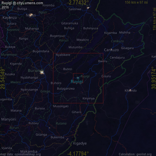
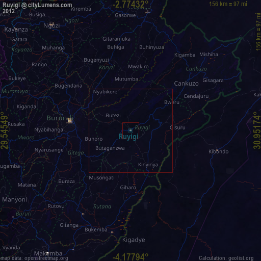
99.94%Clear (daylight) street map image can be seen on geolist.org.
Map coordinates:
2° 46' 27.6" South, 29° 32' 43.8" East
3° 28' 35" South, 30° 14' 55" East
4° 10' 40.6" South, 30° 57' 6.3" East
Some cities around Ruyigi sort by population:
• Muyinga
70.9 km =44.1 mi,  8°
8°
• Gitega
36.4 km =22.6 mi,  278°
278°
• Kibondo, TZ
53.8 km =33.4 mi,  103°
103°
• Rutana
57.7 km =35.9 mi,  209°
209°
• Mabamba, TZ
31.2 km =19.4 mi,  115°
115°
• Karuzi
42.8 km =26.6 mi,  347°
347°
• Cankuzo
44.3 km =27.5 mi,  49°
49°
• Mwaro
60.6 km =37.7 mi,  266°
266°
426700 (p: 38,458)
Sources (retrieved 2019-11-25):
» Earth at Night: Flat Maps 2012, 2016