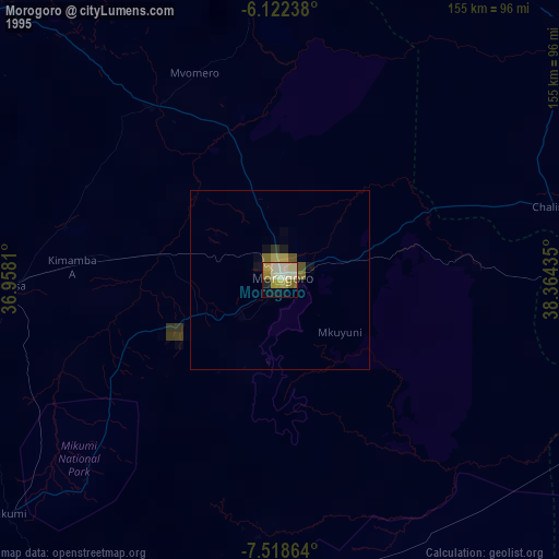
Morogoro night lights from space
Night Light of Morogoro from space (Tanzania) Src. Average luminocity for 10x10km area is 42.9177% and for 50x50km: 2.7433%.
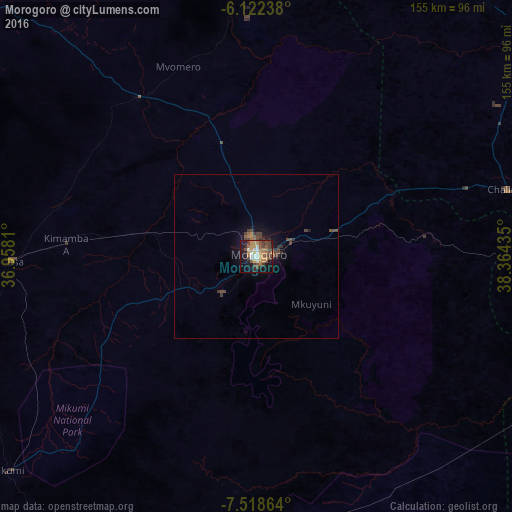
Analysis of Morogoro night lights 2016
Square area 10x10 km:
 4.55%
4.55%90-99
6.71%80-89
1.52%70-79
10.17%60-69
8.23%50-59
8.66%40-49
12.77%30-39
4.55%20-29
4.76%10-19
31.6%0-9
6.49%Square area 50x50 km:
0.18%90-99
0.27%80-89
0.06%70-79
0.47%60-69
0.42%50-59
0.51%40-49
1.06%30-39
0.53%20-29
0.42%10-19
2.31%0-9
93.78%Clear (daylight) street map image can be seen on geolist.org.
Map coordinates:
6° 7' 20.6" South, 36° 57' 29.2" East
6° 49' 15.7" South, 37° 39' 40.4" East
7° 31' 7.1" South, 38° 21' 51.7" East
Some cities around Morogoro sort by population:
• Kilosa
74.9 km =46.5 mi,  268°
268°
• Chalinze
79.2 km =49.2 mi,  75°
75°
• Magole
58.7 km =36.5 mi,  327°
327°
• Msowero
60.1 km =37.3 mi,  302°
302°
• Ngerengere
50.9 km =31.6 mi, 81°
• Lugoba
84.9 km =52.8 mi,  60°
60°
• Kimamba
58.4 km =36.3 mi, 274°
• Kisanga
68.6 km =42.6 mi,  176°
176°
153220 (p: 250,902)
Sources (retrieved 2019-11-25):
» NASA, Earths city lights 1995
» NASA city lights 2003
» Earth at Night: Flat Maps 2012, 2016