Laela night lights from space
Night Light of Laela (Rukwa) from space (Tanzania) Src. Average luminocity for 10x10km area is 0% and for 50x50km: 0%.
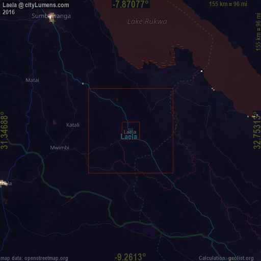
Analysis of Laela night lights 2016
Square area 10x10 km:
 0%
0%90-99
0%80-89
0%70-79
0%60-69
0%50-59
0%40-49
0%30-39
0%20-29
0%10-19
0%0-9
100%Square area 50x50 km:
0%90-99
0%80-89
0%70-79
0%60-69
0%50-59
0%40-49
0%30-39
0%20-29
0%10-19
0%0-9
100%Clear (daylight) street map image can be seen on geolist.org.
Map coordinates:
7° 52' 14.8" South, 31° 20' 48.8" East
8° 34' 0" South, 32° 3' 0" East
9° 15' 40.7" South, 32° 45' 11.3" East
Some cities around Laela sort by population:
• Sumbawanga
82 km =51 mi,  324°
324°
• Vwawa
114.3 km =71 mi,  121°
121°
• Tunduma
113.3 km =70.4 mi,  136°
136°
• Matai
65.7 km =40.8 mi,  296°
296°
• Mbala, ZM
81.1 km =50.4 mi,  247°
247°
• Mlowo
113.3 km =70.4 mi, 115°
• Nakonde, ZM
115.2 km =71.6 mi, 138°
• Mpulungu, ZM
105.2 km =65.4 mi,  258°
258°
156098 (p: 19,185)
Sources (retrieved 2019-11-25):
» Earth at Night: Flat Maps 2012, 2016