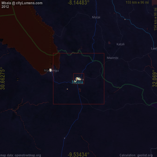
Mbala night lights from space
Night Light of Mbala (Northern) from space (Zambia) Src. Average luminocity for 10x10km area is 10.2835% and for 50x50km: 0.4986%.
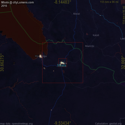
Analysis of Mbala night lights 2016
Square area 10x10 km:
 0.43%
0.43%90-99
1.73%80-89
1.3%70-79
0%60-69
4.11%50-59
1.95%40-49
0.87%30-39
2.6%20-29
0.87%10-19
0.87%0-9
85.28%Square area 50x50 km:
0.02%90-99
0.07%80-89
0.05%70-79
0%60-69
0.2%50-59
0.08%40-49
0.09%30-39
0.1%20-29
0.03%10-19
0.03%0-9
99.32%Clear (daylight) street map image can be seen on geolist.org.
Map coordinates:
8° 8' 41.4" South, 30° 39' 45.9" East
8° 50' 24.9" South, 31° 21' 57.1" East
9° 32' 3.6" South, 32° 4' 8.4" East
Some cities around Mbala sort by population:
• Sumbawanga, TZ
101 km =62.8 mi,  15°
15°
• Namanyere, TZ
151.2 km =94 mi,  346°
346°
• Matai, TZ
62.3 km =38.7 mi, 15°
• Chala, TZ
140.2 km =87.1 mi,  355°
355°
• Laela, TZ
81.1 km =50.4 mi,  67°
67°
• Mpulungu
29 km =18 mi,  287°
287°
• Mungwi
148.2 km =92.1 mi,  179°
179°
• Nkove, TZ
114.1 km =70.9 mi,  330°
330°
176146 (p: 20,570)
Sources (retrieved 2019-11-25):
» Earth at Night: Flat Maps 2012, 2016