Sumbawanga night lights from space
Night Light of Sumbawanga (Rukwa) from space (Tanzania) Src. Average luminocity for 10x10km area is 10.9587% and for 50x50km: 0.4638%.
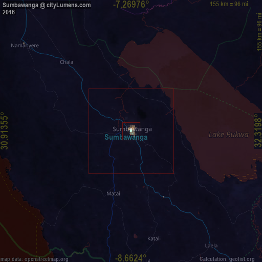
Analysis of Sumbawanga night lights 2016
Square area 10x10 km:
 0.41%
0.41%90-99
1.24%80-89
0%70-79
0%60-69
2.27%50-59
1.24%40-49
8.26%30-39
3.72%20-29
1.03%10-19
2.27%0-9
79.55%Square area 50x50 km:
0.02%90-99
0.05%80-89
0%70-79
0%60-69
0.09%50-59
0.05%40-49
0.34%30-39
0.15%20-29
0.04%10-19
0.09%0-9
99.17%Clear (daylight) street map image can be seen on geolist.org.
Map coordinates:
7° 16' 11.1" South, 30° 54' 48.8" East
7° 58' 0" South, 31° 37' 0" East
8° 39' 44.6" South, 32° 19' 11.3" East
Some cities around Sumbawanga sort by population:
• Namanyere
80 km =49.7 mi,  308°
308°
• Matai
38.7 km =24 mi,  196°
196°
• Chala
57.5 km =35.7 mi,  317°
317°
• Mbala, ZM
101 km =62.8 mi, 195°
• Laela
82 km =51 mi,  144°
144°
• Usevia
105.2 km =65.4 mi,  336°
336°
• Mpulungu, ZM
104.3 km =64.8 mi,  212°
212°
• Nkove
84.4 km =52.4 mi,  271°
271°
149703 (p: 89,161)
Sources (retrieved 2019-11-25):
» NASA, Earths city lights 1995
» NASA city lights 2003
» Earth at Night: Flat Maps 2012, 2016