Nakonde night lights from space
Night Light of Nakonde (Muchinga) from space (Zambia) Src. Average luminocity for 10x10km area is 25.3398% and for 50x50km: 1.4496%.
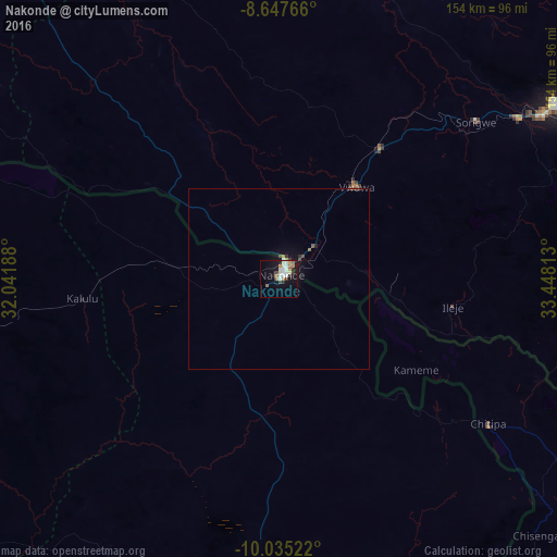
Analysis of Nakonde night lights 2016
Square area 10x10 km:
 4.55%
4.55%90-99
7.58%80-89
0.87%70-79
2.38%60-69
4.55%50-59
1.73%40-49
1.73%30-39
2.6%20-29
2.38%10-19
19.05%0-9
52.6%Square area 50x50 km:
0.18%90-99
0.33%80-89
0.06%70-79
0.1%60-69
0.25%50-59
0.12%40-49
0.2%30-39
0.19%20-29
0.15%10-19
1.18%0-9
97.25%Clear (daylight) street map image can be seen on geolist.org.
Map coordinates:
8° 38' 51.6" South, 32° 2' 30.8" East
9° 20' 31.7" South, 32° 44' 42" East
10° 2' 6.8" South, 33° 26' 53.3" East
Some cities around Nakonde sort by population:
• Mbeya, TZ
91.7 km =57 mi,  57°
57°
• Vwawa, TZ
33.3 km =20.7 mi,  38°
38°
• Tunduma, TZ
5.3 km =3.3 mi,  26°
26°
• Kiwira, TZ
89.4 km =55.6 mi,  77°
77°
• Mlowo, TZ
46.2 km =28.7 mi, 34°
• Itumba, TZ
48.5 km =30.1 mi,  97°
97°
• Isoka
91.8 km =57 mi,  187°
187°
• Chitipa, MW
70.1 km =43.6 mi,  124°
124°
175555 (p: 10,652)
Sources (retrieved 2019-11-25):
» Earth at Night: Flat Maps 2012, 2016