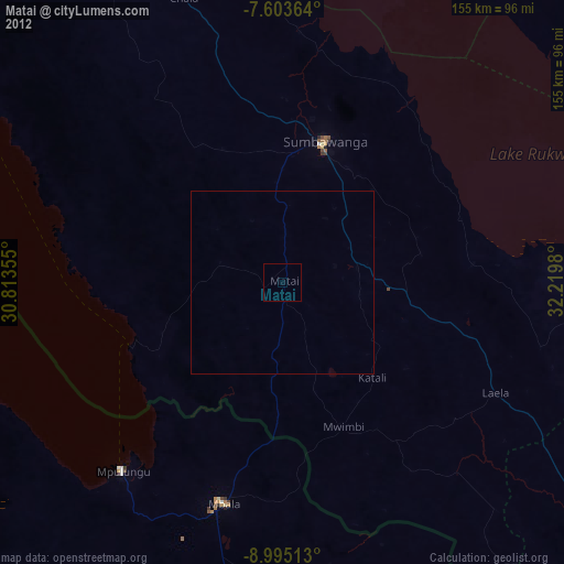
Matai night lights from space
Night Light of Matai (Rukwa) from space (Tanzania) Src. Average luminocity for 10x10km area is 0% and for 50x50km: 0%.
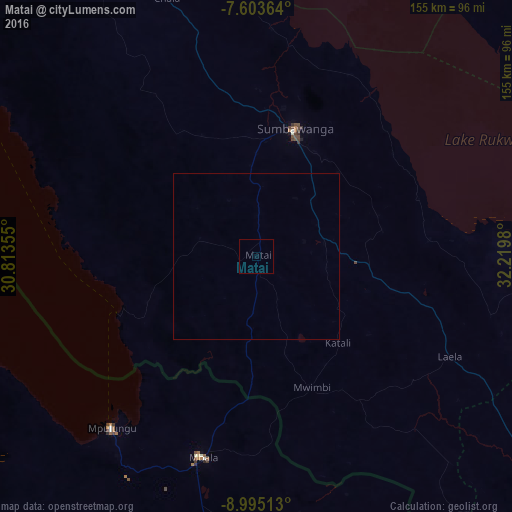
Analysis of Matai night lights 2016
Square area 10x10 km:
100  0%
0%
90-99 0%
80-89 0%
70-79 0%
60-69 0%
50-59 0%
40-49 0%
30-39 0%
20-29 0%
10-19 0%
0-9 100%
0%90-99
0%80-89
0%70-79
0%60-69
0%50-59
0%40-49
0%30-39
0%20-29
0%10-19
0%0-9
100%Square area 50x50 km:
100 0%
90-99 0%
80-89 0%
70-79 0%
60-69 0%
50-59 0%
40-49 0%
30-39 0%
20-29 0%
10-19 0%
0-9 100%
0%90-99
0%80-89
0%70-79
0%60-69
0%50-59
0%40-49
0%30-39
0%20-29
0%10-19
0%0-9
100%Clear (daylight) street map image can be seen on geolist.org.
Map coordinates:
7° 36' 13.1" South, 30° 48' 48.8" East
8° 18' 0" South, 31° 31' 0" East
8° 59' 42.5" South, 32° 13' 11.3" East
Some cities around Matai sort by population:
• Sumbawanga
38.7 km =24 mi,  16°
16°
• Namanyere
101.1 km =62.8 mi,  329°
329°
• Chala
84.3 km =52.4 mi,  340°
340°
• Mbala, ZM
62.3 km =38.7 mi,  195°
195°
• Laela
65.7 km =40.8 mi,  116°
116°
• Usevia
137 km =85.1 mi,  346°
346°
• Mpulungu, ZM
67.8 km =42.1 mi,  220°
220°
• Nkove
83.1 km =51.6 mi,  297°
297°
154638 (p: 24,070)
Sources (retrieved 2019-11-25):
» Earth at Night: Flat Maps 2012, 2016