Toga Village night lights from space
Night Light of Toga Village (Nanumanga) from space (Tuvalu) Src. Average luminocity for 10x10km area is 0% and for 50x50km: 0%.
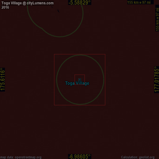
Analysis of Toga Village night lights 2016
Square area 10x10 km:
 0%
0%90-99
0%80-89
0%70-79
0%60-69
0%50-59
0%40-49
0%30-39
0%20-29
0%10-19
0%0-9
100%Square area 50x50 km:
0%90-99
0%80-89
0%70-79
0%60-69
0%50-59
0%40-49
0%30-39
0%20-29
0%10-19
0%0-9
100%Clear (daylight) street map image can be seen on geolist.org.
Map coordinates:
5° 35' 17.8" South, 175° 36' 41.8" East
6° 17' 15.5" South, 176° 18' 53" East
6° 59' 9.8" South, 177° 1' 4.3" East
Some cities around Toga Village sort by population:
• Tarawa, KI
924.3 km =574.3 mi,  336°
336°
• Bikenibeu Village, KI
921.9 km =572.8 mi, 337°
• Funafuti
403.3 km =250.6 mi,  128°
128°
• Savave Village
293.3 km =182.2 mi, 131°
• Tanrake Village
140.5 km =87.3 mi,  139°
139°
• Asau Village
293.4 km =182.3 mi,  117°
117°
• Kulia Village
114.4 km =71.1 mi,  79°
79°
• Ahau, FJ
695.4 km =432.1 mi,  173°
173°
2110302 (p: 258)
Sources (retrieved 2019-11-25):
» Earth at Night: Flat Maps 2012, 2016