Funafuti night lights from space
Night Light of Funafuti from space (Tuvalu) Src. Average luminocity for 10x10km area is 0.1694% and for 50x50km: 0.0069%.
Analysis of Funafuti night lights 2016
Square area 10x10 km:
 0%
0%90-99
0%80-89
0%70-79
0%60-69
0%50-59
0%40-49
0%30-39
0%20-29
0%10-19
0.83%0-9
99.17%Square area 50x50 km:
0%90-99
0%80-89
0%70-79
0%60-69
0%50-59
0%40-49
0%30-39
0%20-29
0%10-19
0.03%0-9
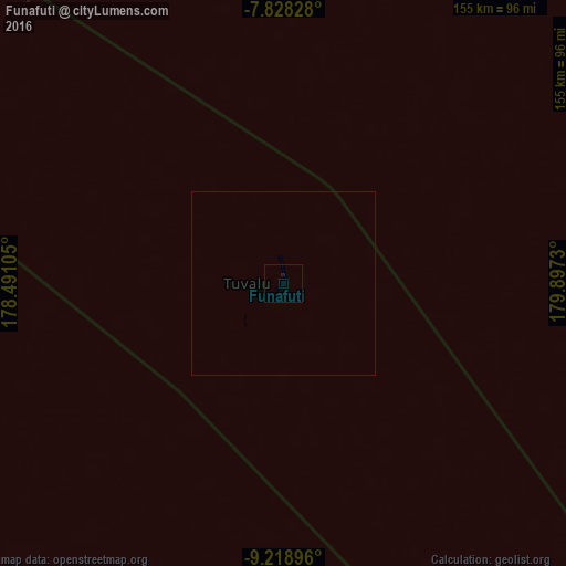
99.97%Clear (daylight) street map image can be seen on geolist.org.
Map coordinates:
7° 49' 41.8" South, 178° 29' 27.8" East
8° 31' 27.3" South, 179° 11' 39" East
9° 13' 8.3" South, 179° 53' 50.3" East
Some cities around Funafuti sort by population:
• Labasa, FJ
879.6 km =546.6 mi,  178°
178°
• Ba, FJ
1015.2 km =630.8 mi,  189°
189°
• Savave Village
111.5 km =69.3 mi,  299°
299°
• Tanrake Village
266.7 km =165.7 mi, 302°
• Toga Village
403.3 km =250.6 mi,  308°
308°
• Asau Village
128.1 km =79.6 mi,  333°
333°
• Kulia Village
338 km =210 mi,  322°
322°
• Ahau, FJ
500.3 km =310.9 mi,  207°
207°
2110394 (p: 4,492)
Sources (retrieved 2019-11-25):
» Earth at Night: Flat Maps 2012, 2016