Bikenibeu Village night lights from space
Night Light of Bikenibeu Village (Gilbert Islands) from space (Kiribati) Src. Average luminocity for 10x10km area is 0.7294% and for 50x50km: 0.1367%.
Analysis of Bikenibeu Village night lights 2016
Square area 10x10 km:
 0%
0%90-99
0%80-89
0%70-79
0%60-69
0%50-59
0%40-49
0.87%30-39
0%20-29
0.87%10-19
0.87%0-9
97.4%Square area 50x50 km:
0.01%90-99
0.03%80-89
0%70-79
0.03%60-69
0.02%50-59
0.02%40-49
0.03%30-39
0.03%20-29
0.07%10-19
0.03%0-9
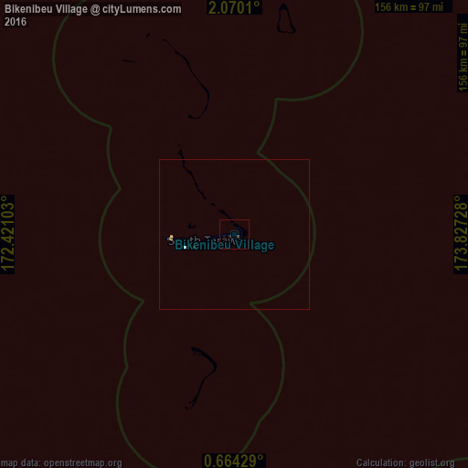
99.72%Clear (daylight) street map image can be seen on geolist.org.
Map coordinates:
2° 4' 12.4" North, 172° 25' 15.7" East
1° 22' 2.3" North, 173° 7' 26.9" East
0° 39' 51.4" North, 173° 49' 38.2" East
Some cities around Bikenibeu Village sort by population:
• Tarawa
16.9 km =10.5 mi,  254°
254°
• Betio Village
22.6 km =14 mi,  267°
267°
• Arno, MH
657.2 km =408.4 mi,  344°
344°
• Jabor, MH
636.8 km =395.7 mi,  322°
322°
• Mili, MH
546.3 km =339.5 mi, 343°
• Ebon, MH
607.8 km =377.7 mi,  306°
306°
• Kili, MH
650.7 km =404.3 mi, 316°
• RMI Capitol, MH
664.9 km =413.1 mi, 343°
7601774 (p: 6,170)
Sources (retrieved 2019-11-25):
» Earth at Night: Flat Maps 2012, 2016