Asau Village night lights from space
Night Light of Asau Village (Vaitupu) from space (Tuvalu) Src. Average luminocity for 10x10km area is 0.0087% and for 50x50km: 0.0413%.
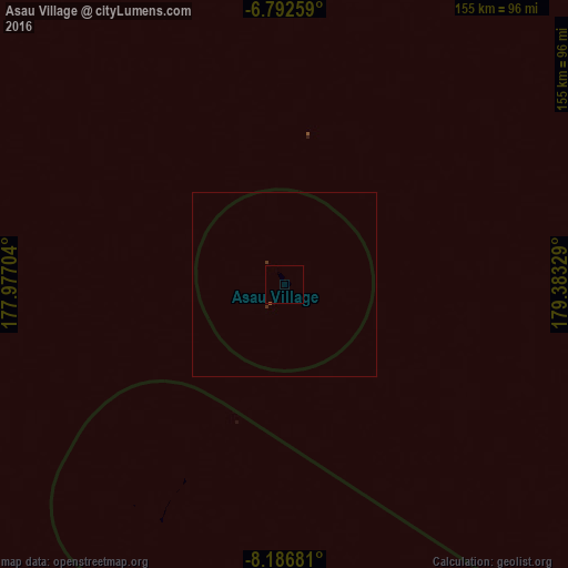
Analysis of Asau Village night lights 2016
Square area 10x10 km:
 0%
0%90-99
0%80-89
0%70-79
0%60-69
0%50-59
0%40-49
0%30-39
0%20-29
0%10-19
0%0-9
100%Square area 50x50 km:
0%90-99
0%80-89
0%70-79
0%60-69
0%50-59
0.03%40-49
0%30-39
0.06%20-29
0.01%10-19
0%0-9
99.9%Clear (daylight) street map image can be seen on geolist.org.
Map coordinates:
6° 47' 33.3" South, 177° 58' 37.3" East
7° 29' 24.9" South, 178° 40' 48.6" East
8° 11' 12.5" South, 179° 22' 59.8" East
Some cities around Asau Village sort by population:
• Labasa, FJ
997.1 km =619.6 mi,  175°
175°
• Ba, FJ
1122.1 km =697.2 mi,  185°
185°
• Funafuti
128.1 km =79.6 mi,  153°
153°
• Savave Village
72.1 km =44.8 mi,  214°
214°
• Tanrake Village
171.4 km =106.5 mi,  279°
279°
• Toga Village
293.4 km =182.3 mi,  297°
297°
• Kulia Village
213.8 km =132.8 mi,  315°
315°
• Ahau, FJ
584.9 km =363.4 mi,  197°
197°
2110415 (p: 250)
Sources (retrieved 2019-11-25):
» Earth at Night: Flat Maps 2012, 2016