Tarawa night lights from space
Night Light of Tarawa (Gilbert Islands) from space (Kiribati) Src. Average luminocity for 10x10km area is 2.3052% and for 50x50km: 0.1367%.

Analysis of Tarawa night lights 2016
Square area 10x10 km:
 0.22%
0.22%90-99
0.65%80-89
0%70-79
0.87%60-69
0.43%50-59
0.43%40-49
0%30-39
0%20-29
0.87%10-19
0%0-9
96.54%Square area 50x50 km:
0.01%90-99
0.03%80-89
0%70-79
0.03%60-69
0.02%50-59
0.02%40-49
0.03%30-39
0.03%20-29
0.07%10-19
0.03%0-9
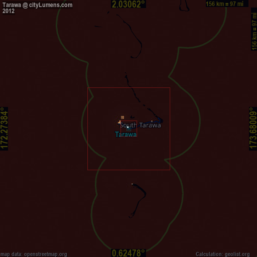
99.72%Clear (daylight) street map image can be seen on geolist.org.
Map coordinates:
2° 1' 50.2" North, 172° 16' 25.8" East
1° 19' 40.1" North, 172° 58' 37.1" East
0° 37' 29.2" North, 173° 40' 48.3" East
Some cities around Tarawa sort by population:
• Betio Village
7.1 km =4.4 mi,  298°
298°
• Bikenibeu Village
16.9 km =10.5 mi,  74°
74°
• Arno, MH
657.3 km =408.4 mi,  346°
346°
• Jabor, MH
630.6 km =391.8 mi,  324°
324°
• Mili, MH
546.2 km =339.4 mi, 345°
• Ebon, MH
597.3 km =371.1 mi,  307°
307°
• Kili, MH
642.9 km =399.5 mi, 318°
• RMI Capitol, MH
664.6 km =413 mi,  344°
344°
2110257 (p: 40,311)
Sources (retrieved 2019-11-25):
» Earth at Night: Flat Maps 2012, 2016