Tanrake Village night lights from space
Night Light of Tanrake Village (Nui) from space (Tuvalu) Src. Average luminocity for 10x10km area is 0% and for 50x50km: 0%.
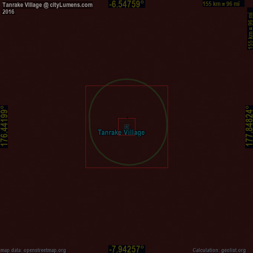
Analysis of Tanrake Village night lights 2016
Square area 10x10 km:
 0%
0%90-99
0%80-89
0%70-79
0%60-69
0%50-59
0%40-49
0%30-39
0%20-29
0%10-19
0%0-9
100%Square area 50x50 km:
0%90-99
0%80-89
0%70-79
0%60-69
0%50-59
0%40-49
0%30-39
0%20-29
0%10-19
0%0-9
100%Clear (daylight) street map image can be seen on geolist.org.
Map coordinates:
6° 32' 51.3" South, 176° 26' 31.2" East
7° 14' 44.2" South, 177° 8' 42.4" East
7° 56' 33.3" South, 177° 50' 53.7" East
Some cities around Tanrake Village sort by population:
• Labasa, FJ
1049.7 km =652.3 mi,  166°
166°
• Bikenibeu Village, KI
1056.5 km =656.5 mi,  335°
335°
• Funafuti
266.7 km =165.7 mi,  122°
122°
• Savave Village
155.4 km =96.6 mi, 124°
• Toga Village
140.5 km =87.3 mi,  319°
319°
• Asau Village
171.4 km =106.5 mi,  99°
99°
• Kulia Village
128.2 km =79.7 mi,  9°
9°
• Ahau, FJ
584.3 km =363.1 mi,  181°
181°
2110322 (p: 408)
Sources (retrieved 2019-11-25):
» Earth at Night: Flat Maps 2012, 2016