Kulia Village night lights from space
Night Light of Kulia Village (Niutao) from space (Tuvalu) Src. Average luminocity for 10x10km area is 0% and for 50x50km: 0%.
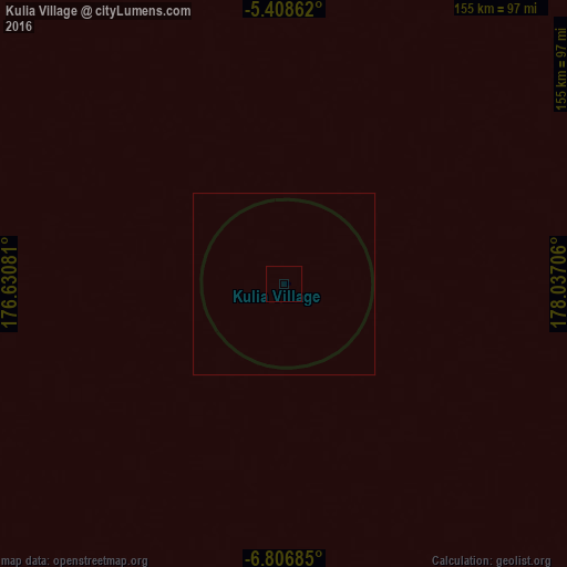
Analysis of Kulia Village night lights 2016
Square area 10x10 km:
 0%
0%90-99
0%80-89
0%70-79
0%60-69
0%50-59
0%40-49
0%30-39
0%20-29
0%10-19
0%0-9
100%Square area 50x50 km:
0%90-99
0%80-89
0%70-79
0%60-69
0%50-59
0%40-49
0%30-39
0%20-29
0%10-19
0%0-9
100%Clear (daylight) street map image can be seen on geolist.org.
Map coordinates:
5° 24' 31" South, 176° 37' 50.9" East
6° 6' 29.5" South, 177° 20' 2.1" East
6° 48' 24.7" South, 178° 2' 13.4" East
Some cities around Kulia Village sort by population:
• Tarawa, KI
957.9 km =595.2 mi,  329°
329°
• Bikenibeu Village, KI
953.6 km =592.5 mi, 330°
• Funafuti
338 km =210 mi,  142°
142°
• Savave Village
239.2 km =148.6 mi,  153°
153°
• Tanrake Village
128.2 km =79.7 mi,  189°
189°
• Toga Village
114.4 km =71.1 mi,  259°
259°
• Asau Village
213.8 km =132.8 mi, 135°
• Ahau, FJ
711.4 km =442 mi,  182°
182°
2110377 (p: 224)
Sources (retrieved 2019-11-25):
» Earth at Night: Flat Maps 2012, 2016