Ahau night lights from space
Night Light of Ahau (Rotuma) from space (Fiji) Src. Average luminocity for 10x10km area is 0% and for 50x50km: 0%.
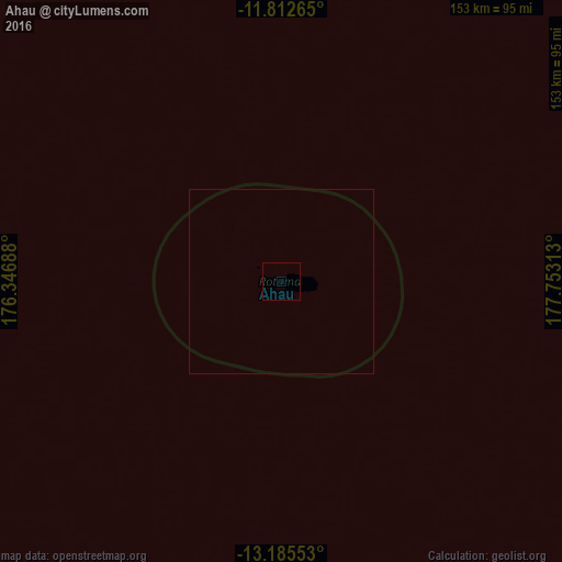
Analysis of Ahau night lights 2016
Square area 10x10 km:
 0%
0%90-99
0%80-89
0%70-79
0%60-69
0%50-59
0%40-49
0%30-39
0%20-29
0%10-19
0%0-9
100%Square area 50x50 km:
0%90-99
0%80-89
0%70-79
0%60-69
0%50-59
0%40-49
0%30-39
0%20-29
0%10-19
0%0-9
100%Clear (daylight) street map image can be seen on geolist.org.
Map coordinates:
11° 48' 45.5" South, 176° 20' 48.8" East
12° 30' 0" South, 177° 3' 0" East
13° 11' 7.9" South, 177° 45' 11.3" East
Some cities around Ahau sort by population:
• Lautoka
570.6 km =354.6 mi,  175°
175°
• Nadi
591 km =367.2 mi, 176°
• Labasa
503.3 km =312.7 mi,  150°
150°
• Ba
563.8 km =350.3 mi,  173°
173°
• Funafuti, TV
500.3 km =310.9 mi,  27°
27°
• Savave Village, TV
516.2 km =320.8 mi,  15°
15°
• Tanrake Village, TV
584.3 km =363.1 mi,  1°
1°
• Asau Village, TV
584.9 km =363.4 mi, 17°
2205310 (p: 0)
Sources (retrieved 2019-11-25):
» Earth at Night: Flat Maps 2012, 2016