Labasa night lights from space
Night Light of Labasa (Northern) from space (Fiji) Src. Average luminocity for 10x10km area is 0% and for 50x50km: 0.1%.
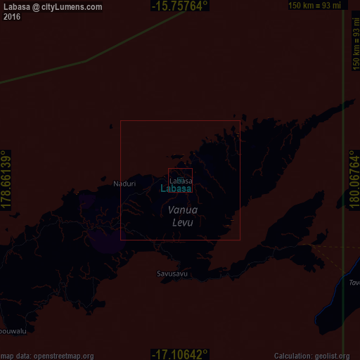
Analysis of Labasa night lights 2016
Square area 10x10 km:
 0%
0%90-99
0%80-89
0%70-79
0%60-69
0%50-59
0%40-49
0%30-39
0%20-29
0%10-19
0%0-9
100%Square area 50x50 km:
0%90-99
0%80-89
0%70-79
0%60-69
0%50-59
0%40-49
0%30-39
0%20-29
0%10-19
0%0-9
100%Clear (daylight) street map image can be seen on geolist.org.
Map coordinates:
15° 45' 27.5" South, 178° 39' 41" East
16° 25' 59.5" South, 179° 21' 52.2" East
17° 6' 23.1" South, 180° 4' 3.5" East
Some cities around Labasa sort by population:
• Suva
213.7 km =132.8 mi,  207°
207°
• Lautoka
242.3 km =150.6 mi,  237°
237°
• Nadi
257 km =159.7 mi,  233°
233°
• Ba
217.5 km =135.1 mi, 235°
• Levuka
181.7 km =112.9 mi,  181°
181°
• Funafuti, TV
879.6 km =546.6 mi,  358°
358°
• Savave Village, TV
941.6 km =585.1 mi,  353°
353°
• Ahau
503.3 km =312.7 mi,  330°
330°
2204582 (p: 27,949)
Sources (retrieved 2019-11-25):
» Earth at Night: Flat Maps 2012, 2016