Ba night lights from space
Night Light of Ba (Western) from space (Fiji) Src. Average luminocity for 10x10km area is 3.4938% and for 50x50km: 1.1977%.
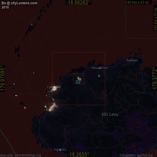
Analysis of Ba night lights 2016
Square area 10x10 km:
 0%
0%90-99
0%80-89
0%70-79
0.41%60-69
0.41%50-59
1.03%40-49
3.51%30-39
1.24%20-29
0%10-19
0.83%0-9
92.56%Square area 50x50 km:
0.12%90-99
0.11%80-89
0.19%70-79
0.05%60-69
0.11%50-59
0.18%40-49
0.38%30-39
0.45%20-29
0.11%10-19
0.24%0-9
98.05%Clear (daylight) street map image can be seen on geolist.org.
Map coordinates:
16° 51' 45.4" South, 176° 58' 15.4" East
17° 32' 3.5" South, 177° 40' 26.7" East
18° 12' 12.6" South, 178° 22' 37.9" East
Some cities around Ba sort by population:
• Suva
105.6 km =65.6 mi,  129°
129°
• Lautoka
25.4 km =15.8 mi,  248°
248°
• Nadi
40.5 km =25.2 mi,  222°
222°
• Port-Vila, VU
992 km =616.4 mi,  268°
268°
• Labasa
217.5 km =135.1 mi,  55°
55°
• Levuka
183.7 km =114.1 mi,  108°
108°
• Isangel, VU
912.3 km =566.9 mi,  255°
255°
• Ahau
563.8 km =350.3 mi,  353°
353°
8335413 (p: 14,596)
Sources (retrieved 2019-11-25):
» Earth at Night: Flat Maps 2012, 2016