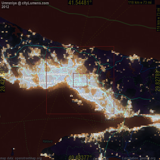
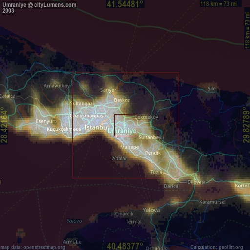
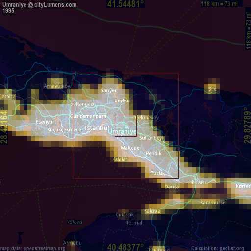
Umraniye night lights from space
Night Light of Umraniye (Istanbul) from space (Turkey) Src. Average luminocity for 10x10km area is 96.3861% and for 50x50km: 46.3893%.
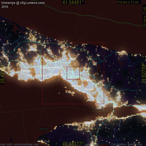
Analysis of Umraniye night lights 2016
Square area 10x10 km:
 62.41%
90-99
24.49%80-89
5.27%70-79
3.91%60-69
3.57%50-59
0.34%40-49
0%30-39
0%20-29
0%10-19
0%0-9
0%Square area 50x50 km:
18.05%90-99
9.94%80-89
3.14%70-79
4.51%60-69
5.03%50-59
4.72%40-49
3.94%30-39
4.43%20-29
6.4%10-19
9.36%0-9
30.48%Clear (daylight) street map image can be seen on geolist.org.
Map coordinates:
41° 32' 41.3" North, 28° 25' 17.9" East
41° 0' 59.1" North, 29° 7' 29.1" East
40° 29' 1.6" North, 29° 49' 40.4" East
Some cities around Umraniye sort by population:
• Istanbul
14.7 km =9.1 mi,  268°
268°
• Üsküdar
9.3 km =5.8 mi, 274°
• Maltepe
9.3 km =5.8 mi,  164°
164°
• Ataşehir
3.7 km =2.3 mi,  190°
190°
• Şişli
12.5 km =7.8 mi,  292°
292°
• Sultanbeyli
13.7 km =8.5 mi,  116°
116°
• Sancaktepe
9.1 km =5.7 mi,  99°
99°
• Eminönü
12.6 km =7.8 mi, 270°
738377 (p: 573,265)
Sources (retrieved 2019-11-25):
» NASA, Earths city lights 1995
» NASA city lights 2003
» Earth at Night: Flat Maps 2012, 2016