Eminönü night lights from space
Night Light of Eminönü (Istanbul) from space (Turkey) Src. Average luminocity for 10x10km area is 86.7636% and for 50x50km: 47.1328%.
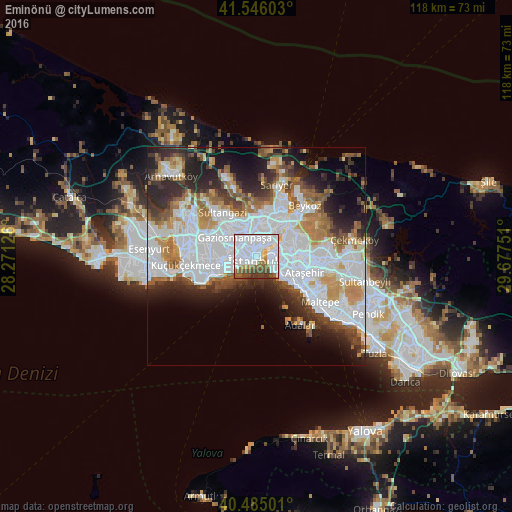
Analysis of Eminönü night lights 2016
Square area 10x10 km:
 52.38%
90-99
17.52%80-89
4.08%70-79
1.36%60-69
6.63%50-59
7.14%40-49
7.31%30-39
3.23%20-29
0.34%10-19
0%0-9
0%Square area 50x50 km:
18.53%90-99
9.91%80-89
2.82%70-79
4.52%60-69
5.27%50-59
4.65%40-49
3.99%30-39
4.68%20-29
8.56%10-19
9.09%0-9
27.99%Clear (daylight) street map image can be seen on geolist.org.
Map coordinates:
41° 32' 45.7" North, 28° 16' 16.5" East
41° 1' 3.6" North, 28° 58' 27.8" East
40° 29' 6" North, 29° 40' 39" East
Some cities around Eminönü sort by population:
• Istanbul
2.1 km =1.3 mi,  258°
258°
• Üsküdar
3.3 km =2.1 mi,  80°
80°
• Bahçelievler
9.8 km =6.1 mi, 259°
• Esenler
8.7 km =5.4 mi,  289°
289°
• Şişli
4.9 km =3 mi,  12°
12°
• Zeytinburnu
6.4 km =4 mi,  246°
246°
• Merter Keresteciler
7.4 km =4.6 mi,  265°
265°
• güngören merter
7.3 km =4.5 mi, 260°
747538 (p: 55,548)
Sources (retrieved 2019-11-25):
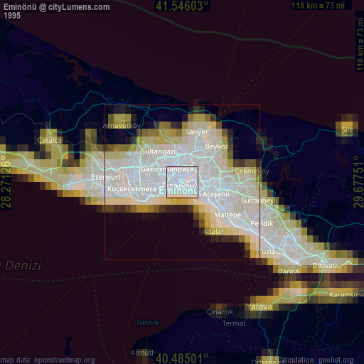
» NASA, Earths city lights 1995
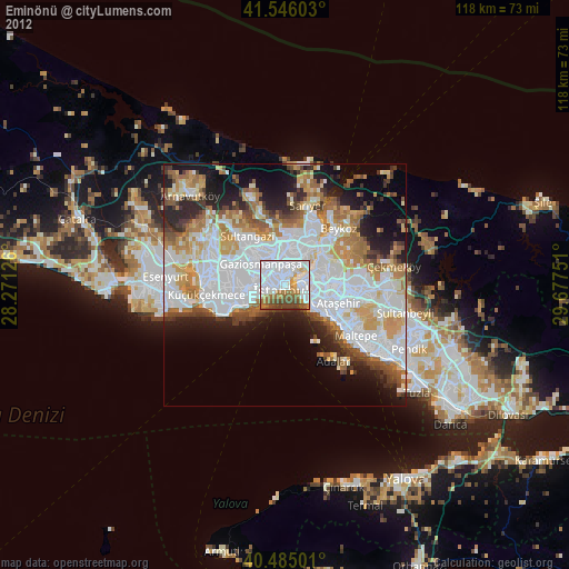
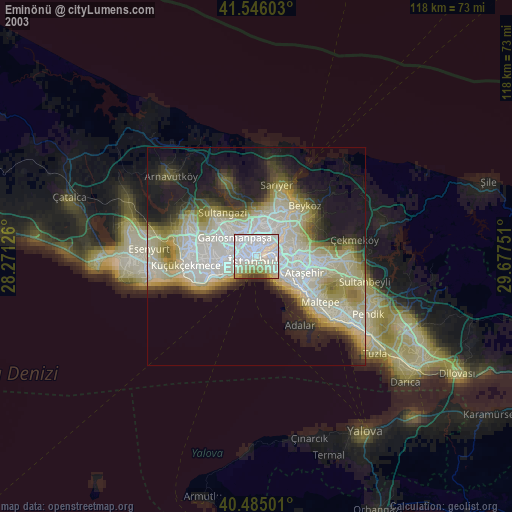
» NASA city lights 2003
» Earth at Night: Flat Maps 2012, 2016