Istanbul night lights from space
Night Light of Istanbul from space (Turkey) Src. Average luminocity for 10x10km area is 84.4881% and for 50x50km: 46.3905%.
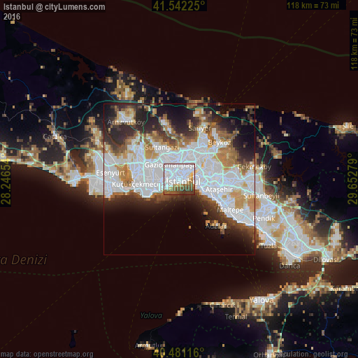
Analysis of Istanbul night lights 2016
Square area 10x10 km:
 55.1%
55.1%90-99
10.71%80-89
3.74%70-79
1.7%60-69
6.63%50-59
9.18%40-49
7.14%30-39
5.1%20-29
0.68%10-19
0%0-9
0%Square area 50x50 km:
18.62%90-99
9.72%80-89
2.59%70-79
4.34%60-69
5.1%50-59
4.51%40-49
3.82%30-39
4.56%20-29
8.54%10-19
9.21%0-9
29.01%Clear (daylight) street map image can be seen on geolist.org.
Map coordinates:
41° 32' 32.1" North, 28° 14' 47.5" East
41° 0' 49.8" North, 28° 56' 58.8" East
40° 28' 52.2" North, 29° 39' 10" East
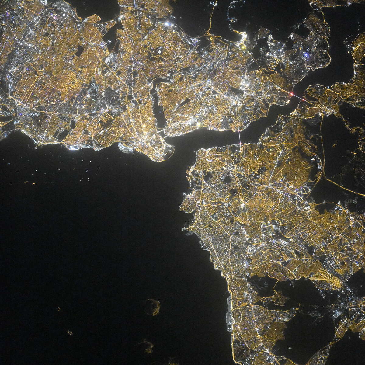
Fantastic image of Istanbul from space taken by astronauts [src2], but I don't have information about it's orientation, scale or angle. If necessary, it was rotated manually, so North points approximately to upper direction. Click to zoom in:
Some cities around Istanbul sort by population:
• Ãœsküdar
5.5 km =3.4 mi,  79°
79°
• Bahçelievler
7.6 km =4.7 mi,  260°
260°
• Esenler
7 km =4.3 mi,  298°
298°
• ÅžiÅŸli
6.1 km =3.8 mi,  31°
31°
• Zeytinburnu
4.4 km =2.7 mi,  240°
240°
• Eminönü
2.1 km =1.3 mi, 78°
• Merter Keresteciler
5.3 km =3.3 mi,  268°
268°
• güngören merter
5.2 km =3.2 mi, 261°
745044 (p: 14,804,116)
Sources (retrieved 2019-11-25):
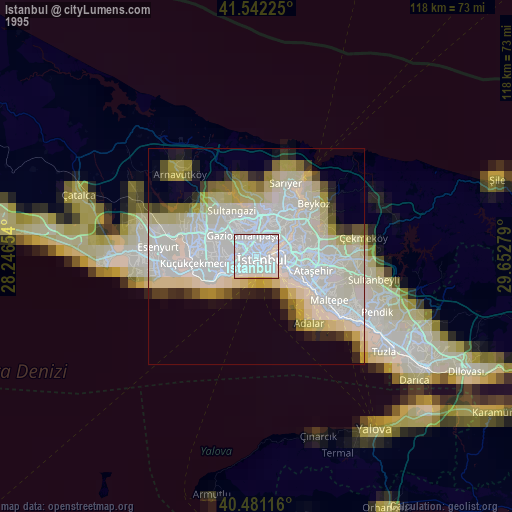
» NASA, Earths city lights 1995
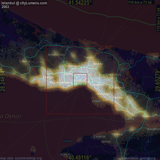
» NASA city lights 2003
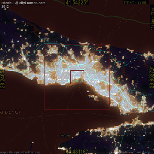
» Earth at Night: Flat Maps 2012, 2016
Src.2: picture by Oleg Kononenko, Roscosmos, retrieved 2019-11-29