Oğuzeli night lights from space
Night Light of Oğuzeli (Gaziantep) from space (Turkey) Src. Average luminocity for 10x10km area is 30.2679% and for 50x50km: 18.5236%.
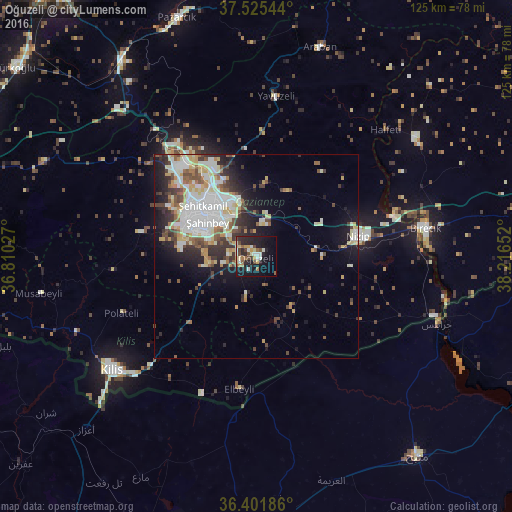
Analysis of Oğuzeli night lights 2016
Square area 10x10 km:
 1.62%
1.62%90-99
6.98%80-89
4.06%70-79
4.38%60-69
2.27%50-59
3.57%40-49
5.84%30-39
1.46%20-29
13.64%10-19
27.6%0-9
28.57%Square area 50x50 km:
3.73%90-99
4.48%80-89
2.03%70-79
2.1%60-69
1.63%50-59
2.01%40-49
2.61%30-39
2.57%20-29
4.31%10-19
7.67%0-9
66.87%Clear (daylight) street map image can be seen on geolist.org.
Map coordinates:
37° 31' 31.6" North, 36° 48' 37" East
36° 57' 56.6" North, 37° 30' 48.2" East
36° 24' 6.7" North, 38° 12' 59.5" East
Some cities around Oğuzeli sort by population:
• Gaziantep
15.6 km =9.7 mi,  311°
311°
• Nizip
25.4 km =15.8 mi,  78°
78°
• Kilis
45 km =28 mi,  231°
231°
• I‘zāz, SY
59.2 km =36.8 mi,  224°
224°
• Birecik
41.8 km =26 mi, 80°
• Jarābulus, SY
47.2 km =29.3 mi,  110°
110°
• Araban
53.6 km =33.3 mi,  16°
16°
• Yavuzeli
39.4 km =24.5 mi,  7°
7°
303642 (p: 11,527)
Sources (retrieved 2019-11-25):
» Earth at Night: Flat Maps 2012, 2016