Kilis night lights from space
Night Light of Kilis from space (Turkey) Src. Average luminocity for 10x10km area is 37.2418% and for 50x50km: 3.3147%.
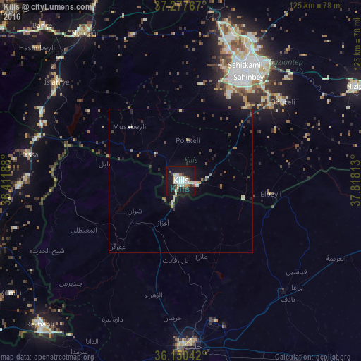
Analysis of Kilis night lights 2016
Square area 10x10 km:
 8.06%
8.06%90-99
9.34%80-89
3.66%70-79
3.3%60-69
1.83%50-59
2.2%40-49
4.03%30-39
3.3%20-29
6.41%10-19
49.82%0-9
8.06%Square area 50x50 km:
0.31%90-99
0.71%80-89
0.34%70-79
0.21%60-69
0.25%50-59
0.38%40-49
0.53%30-39
0.51%20-29
0.65%10-19
3.16%0-9
92.95%Clear (daylight) street map image can be seen on geolist.org.
Map coordinates:
37° 16' 39.6" North, 36° 24' 42.8" East
36° 42' 58" North, 37° 6' 54" East
36° 9' 1.5" North, 37° 49' 5.3" East
Some cities around Kilis sort by population:
• Gaziantep
45 km =28 mi,  31°
31°
• Al Bāb, SY
52.5 km =32.6 mi,  137°
137°
• I‘zāz, SY
15.6 km =9.7 mi,  203°
203°
• ‘Afrīn, SY
31.5 km =19.6 mi,  223°
223°
• Tall Rif‘at, SY
27.2 km =16.9 mi,  183°
183°
• Nubl, SY
39.1 km =24.3 mi, 196°
• Oğuzeli
45 km =28 mi,  51°
51°
• Hassa
54 km =33.6 mi,  279°
279°
307864 (p: 82,301)
Sources (retrieved 2019-11-25):
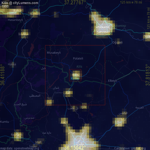
» NASA, Earths city lights 1995
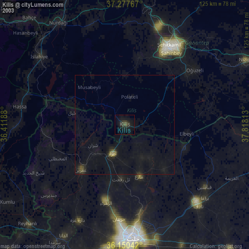
» NASA city lights 2003
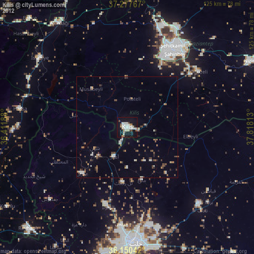
» Earth at Night: Flat Maps 2012, 2016