Nizip night lights from space
Night Light of Nizip (Gaziantep) from space (Turkey) Src. Average luminocity for 10x10km area is 32.0292% and for 50x50km: 7.7763%.
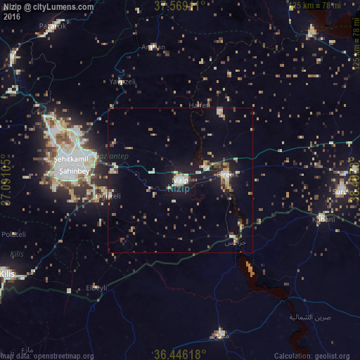
Analysis of Nizip night lights 2016
Square area 10x10 km:
 4.87%
4.87%90-99
8.93%80-89
5.19%70-79
1.79%60-69
2.27%50-59
0.65%40-49
2.27%30-39
2.76%20-29
2.76%10-19
53.25%0-9
15.26%Square area 50x50 km:
0.52%90-99
1.42%80-89
0.8%70-79
0.83%60-69
0.75%50-59
0.93%40-49
1.44%30-39
1.06%20-29
1.2%10-19
7.39%0-9
83.66%Clear (daylight) street map image can be seen on geolist.org.
Map coordinates:
37° 34' 8.8" North, 37° 5' 27.8" East
37° 0' 35" North, 37° 47' 39" East
36° 26' 46.2" North, 38° 29' 50.3" East
Some cities around Nizip sort by population:
• Gaziantep
37 km =23 mi,  278°
278°
• Manbij, SY
55.4 km =34.4 mi,  165°
165°
• ‘Ayn al ‘Arab, SY
51.4 km =31.9 mi,  104°
104°
• Birecik
16.5 km =10.3 mi,  83°
83°
• Jarābulus, SY
28.8 km =17.9 mi,  137°
137°
• Oğuzeli
25.4 km =15.8 mi,  258°
258°
• Araban
47.3 km =29.4 mi,  348°
348°
• Yavuzeli
39.7 km =24.7 mi,  329°
329°
303798 (p: 82,308)
Sources (retrieved 2019-11-25):
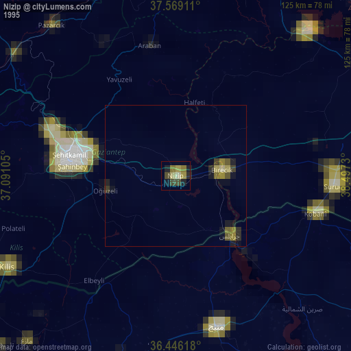
» NASA, Earths city lights 1995
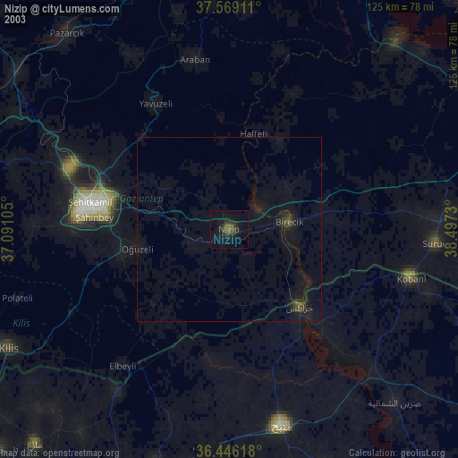
» NASA city lights 2003
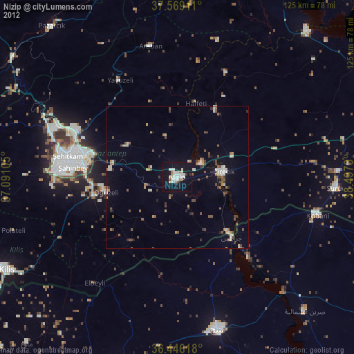
» Earth at Night: Flat Maps 2012, 2016