Birecik night lights from space
Night Light of Birecik (Şanlıurfa) from space (Turkey) Src. Average luminocity for 10x10km area is 33.8776% and for 50x50km: 6.9452%.
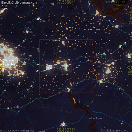
Analysis of Birecik night lights 2016
Square area 10x10 km:
 3.57%
3.57%90-99
6.46%80-89
3.23%70-79
5.27%60-69
4.59%50-59
4.08%40-49
5.95%30-39
4.42%20-29
5.95%10-19
40.31%0-9
16.16%Square area 50x50 km:
0.48%90-99
1.17%80-89
0.68%70-79
0.76%60-69
0.75%50-59
0.84%40-49
1.39%30-39
1.07%20-29
1.09%10-19
6.51%0-9
85.26%Clear (daylight) street map image can be seen on geolist.org.
Map coordinates:
37° 35' 6.1" North, 37° 16' 31" East
37° 1' 32.8" North, 37° 58' 42.3" East
36° 27' 44.5" North, 38° 40' 53.5" East
Some cities around Birecik sort by population:
• Gaziantep
53 km =32.9 mi,  274°
274°
• Nizip
16.5 km =10.3 mi,  263°
263°
• ‘Ayn al ‘Arab, SY
36.5 km =22.7 mi,  114°
114°
• Suruç
40.1 km =24.9 mi,  97°
97°
• Jarābulus, SY
23.3 km =14.5 mi,  172°
172°
• Oğuzeli
41.8 km =26 mi, 260°
• Araban
51.4 km =31.9 mi,  330°
330°
• Yavuzeli
48.7 km =30.3 mi,  311°
311°
321062 (p: 44,284)
Sources (retrieved 2019-11-25):
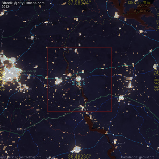
» Earth at Night: Flat Maps 2012, 2016