Körfez night lights from space
Night Light of Körfez (Kocaeli) from space (Turkey) Src. Average luminocity for 10x10km area is 64.3604% and for 50x50km: 20.8512%.
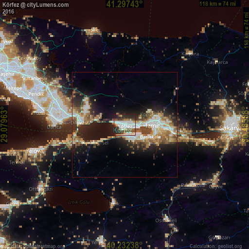
Analysis of Körfez night lights 2016
Square area 10x10 km:
 21.1%
21.1%90-99
18.02%80-89
4.71%70-79
3.25%60-69
4.38%50-59
7.14%40-49
8.6%30-39
10.06%20-29
19.48%10-19
3.25%0-9
0%Square area 50x50 km:
3.4%90-99
4.15%80-89
2.39%70-79
2.15%60-69
2.8%50-59
3.32%40-49
3.38%30-39
2.7%20-29
6.28%10-19
11.31%0-9
58.12%Clear (daylight) street map image can be seen on geolist.org.
Map coordinates:
41° 17' 50.7" North, 29° 4' 46.7" East
40° 46' 1.3" North, 29° 46' 57.9" East
40° 13' 56.6" North, 30° 29' 9.2" East
Some cities around Körfez sort by population:
• İzmit
12.3 km =7.6 mi,  91°
91°
• Derince
2.9 km =1.8 mi,  112°
112°
• Gölcük
10.3 km =6.4 mi,  133°
133°
• Karamürsel
16.3 km =10.1 mi,  238°
238°
• İhsaniye
9.5 km =5.9 mi,  152°
152°
• Kullar
18.1 km =11.2 mi, 105°
• Bahçecik
15.6 km =9.7 mi, 134°
• Yuvacık
17.9 km =11.1 mi,  119°
119°
737961 (p: 90,580)
Sources (retrieved 2019-11-25):
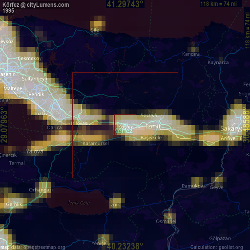
» NASA, Earths city lights 1995
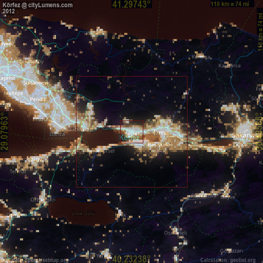
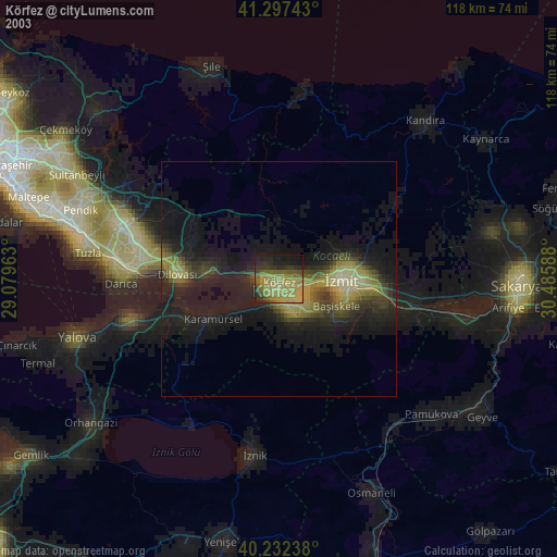
» NASA city lights 2003
» Earth at Night: Flat Maps 2012, 2016