İzmit night lights from space
Night Light of İzmit (Kocaeli) from space (Turkey) Src. Average luminocity for 10x10km area is 75.263% and for 50x50km: 17.4147%.
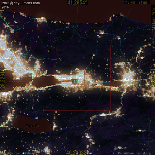
Analysis of İzmit night lights 2016
Square area 10x10 km:
 22.56%
90-99
23.54%80-89
6.33%70-79
7.63%60-69
6.66%50-59
4.71%40-49
23.38%30-39
2.92%20-29
2.27%10-19
0%0-9
0%Square area 50x50 km:
2.83%90-99
3.27%80-89
1.86%70-79
1.92%60-69
2.49%50-59
2.68%40-49
3.08%30-39
2.3%20-29
4.43%10-19
9.65%0-9
65.47%Clear (daylight) street map image can be seen on geolist.org.
Map coordinates:
41° 17' 43.4" North, 29° 13' 34.2" East
40° 45' 54" North, 29° 55' 45.4" East
40° 13' 49.2" North, 30° 37' 56.7" East
Some cities around İzmit sort by population:
• Derince
9.7 km =6 mi,  264°
264°
• Körfez
12.3 km =7.6 mi,  271°
271°
• Gölcük
8.4 km =5.2 mi,  215°
215°
• Köseköy
7 km =4.3 mi,  113°
113°
• İhsaniye
11.5 km =7.1 mi, 224°
• Kullar
6.8 km =4.2 mi,  131°
131°
• Bahçecik
10.8 km =6.7 mi,  186°
186°
• Yuvacık
9.1 km =5.7 mi,  159°
159°
745028 (p: 196,571)
Sources (retrieved 2019-11-25):
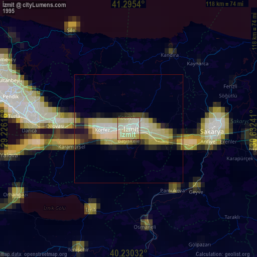
» NASA, Earths city lights 1995
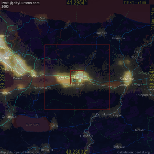
» NASA city lights 2003
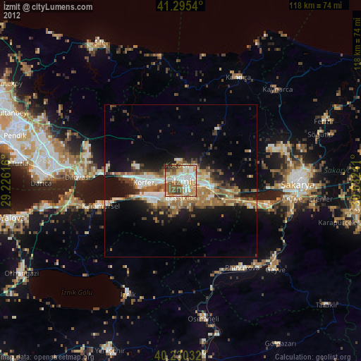
» Earth at Night: Flat Maps 2012, 2016