Kırklareli night lights from space
Night Light of Kırklareli from space (Turkey) Src. Average luminocity for 10x10km area is 25.2744% and for 50x50km: 2.9932%.
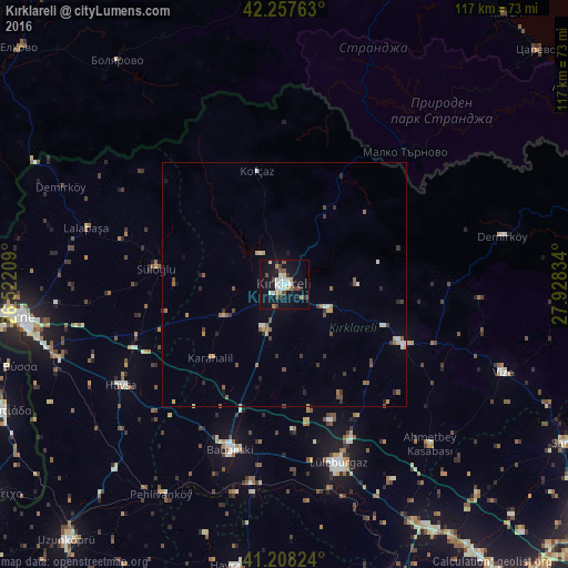
Analysis of Kırklareli night lights 2016
Square area 10x10 km:
 4.06%
4.06%90-99
6.01%80-89
1.14%70-79
2.44%60-69
1.95%50-59
2.27%40-49
4.38%30-39
3.57%20-29
2.6%10-19
31.01%0-9
40.58%Square area 50x50 km:
0.22%90-99
0.53%80-89
0.17%70-79
0.35%60-69
0.41%50-59
0.52%40-49
0.49%30-39
0.57%20-29
0.42%10-19
1.49%0-9
94.81%Clear (daylight) street map image can be seen on geolist.org.
Map coordinates:
42° 15' 27.5" North, 26° 31' 19.5" East
41° 44' 6.3" North, 27° 13' 30.8" East
41° 12' 29.7" North, 27° 55' 42" East
Some cities around Kırklareli sort by population:
• Edirne
55.9 km =34.7 mi,  263°
263°
• Lüleburgaz
38.5 km =23.9 mi,  163°
163°
• Babaeski
35.4 km =22 mi,  198°
198°
• Hayrabolu
58.9 km =36.6 mi,  189°
189°
• Orestiáda, GR
63.3 km =39.3 mi,  245°
245°
• Pınarhisar
27.4 km =17 mi,  116°
116°
• Vize
48.4 km =30.1 mi,  111°
111°
• Havsa
39.4 km =24.5 mi,  238°
238°
743166 (p: 58,223)
Sources (retrieved 2019-11-25):
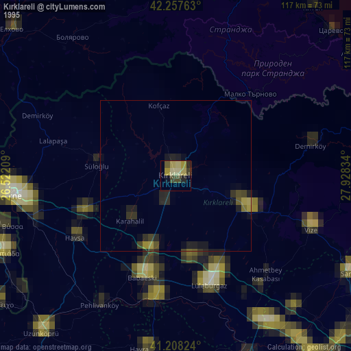
» NASA, Earths city lights 1995
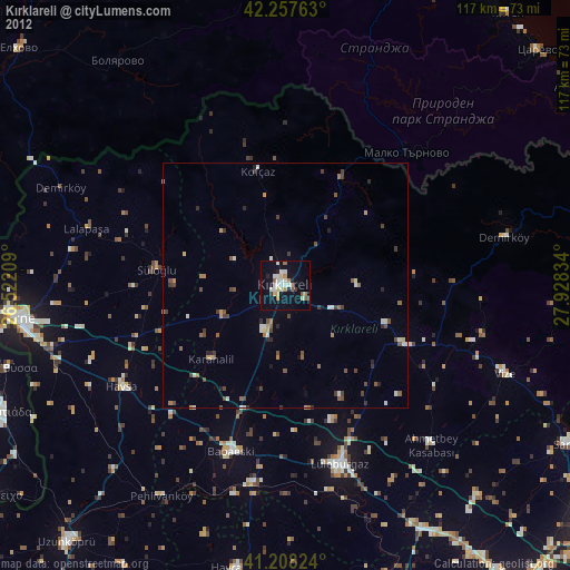
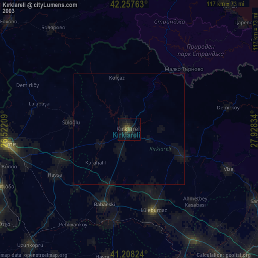
» NASA city lights 2003
» Earth at Night: Flat Maps 2012, 2016