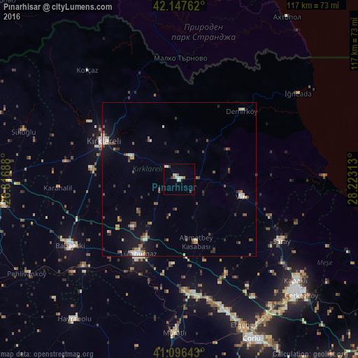
Pınarhisar night lights from space
Night Light of Pınarhisar (Kırklareli) from space (Turkey) Src. Average luminocity for 10x10km area is 10.1575% and for 50x50km: 4.1478%.
Analysis of Pınarhisar night lights 2016
Square area 10x10 km:
 1.3%
1.3%90-99
2.44%80-89
2.11%70-79
1.3%60-69
0.32%50-59
0.97%40-49
0.97%30-39
0.97%20-29
0%10-19
0.16%0-9
89.45%Square area 50x50 km:
0.36%90-99
0.69%80-89
0.28%70-79
0.51%60-69
0.46%50-59
0.73%40-49
0.7%30-39
0.68%20-29
0.59%10-19
2.39%0-9
92.61%Clear (daylight) street map image can be seen on geolist.org.
Map coordinates:
42° 8' 51.4" North, 26° 49' 0.8" East
41° 37' 27" North, 27° 31' 12" East
41° 5' 47.1" North, 28° 13' 23.3" East
Some cities around Pınarhisar sort by population:
• Çorlu
56.7 km =35.2 mi,  155°
155°
• Lüleburgaz
27.9 km =17.3 mi,  208°
208°
• Çerkezköy
54.8 km =34.1 mi,  133°
133°
• Kırklareli
27.4 km =17 mi,  296°
296°
• Babaeski
41.4 km =25.7 mi,  239°
239°
• Vize
21.2 km =13.2 mi,  105°
105°
• Velimeşe
50.9 km =31.6 mi,  144°
144°
• Marmaracık
50.4 km =31.3 mi, 157°
740570 (p: 11,180)
Sources (retrieved 2019-11-25):
» Earth at Night: Flat Maps 2012, 2016