Lüleburgaz night lights from space
Night Light of Lüleburgaz (Kırklareli) from space (Turkey) Src. Average luminocity for 10x10km area is 30.3299% and for 50x50km: 7.3105%.
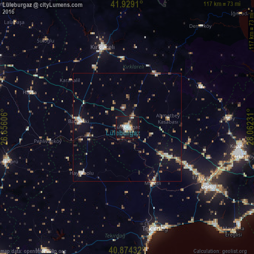
Analysis of Lüleburgaz night lights 2016
Square area 10x10 km:
 5.1%
5.1%90-99
7.82%80-89
1.87%70-79
3.57%60-69
2.72%50-59
1.36%40-49
1.02%30-39
3.23%20-29
4.59%10-19
50.85%0-9
17.86%Square area 50x50 km:
0.43%90-99
1.18%80-89
0.67%70-79
0.71%60-69
1.05%50-59
1.16%40-49
1.1%30-39
1.23%20-29
0.9%10-19
6.04%0-9
85.53%Clear (daylight) street map image can be seen on geolist.org.
Map coordinates:
41° 55' 44.8" North, 26° 39' 21.8" East
41° 24' 13.9" North, 27° 21' 33" East
40° 52' 27.6" North, 28° 3' 44.3" East
Some cities around Lüleburgaz sort by population:
• Çorlu
45.8 km =28.5 mi,  126°
126°
• Kırklareli
38.5 km =23.9 mi,  343°
343°
• Babaeski
22.4 km =13.9 mi,  278°
278°
• Hayrabolu
29.9 km =18.6 mi,  224°
224°
• Pınarhisar
27.9 km =17.3 mi,  28°
28°
• Vize
38.7 km =24 mi,  61°
61°
• Velimeşe
46.5 km =28.9 mi,  111°
111°
• Marmaracık
39.6 km =24.6 mi,  123°
123°
741855 (p: 90,899)
Sources (retrieved 2019-11-25):
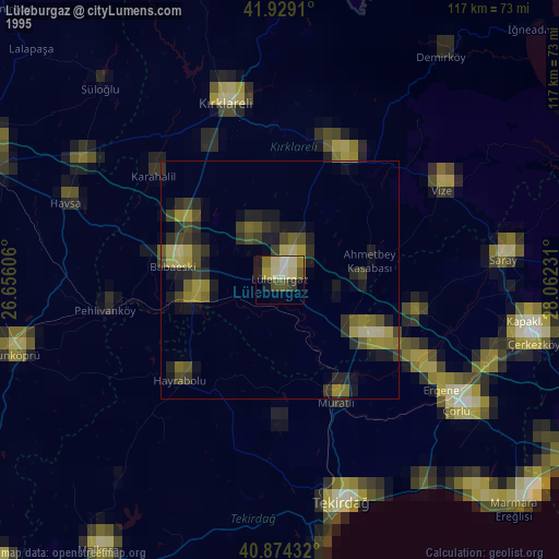
» NASA, Earths city lights 1995
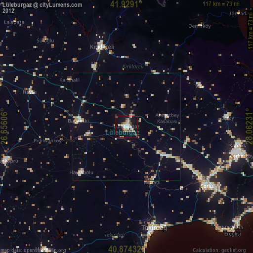
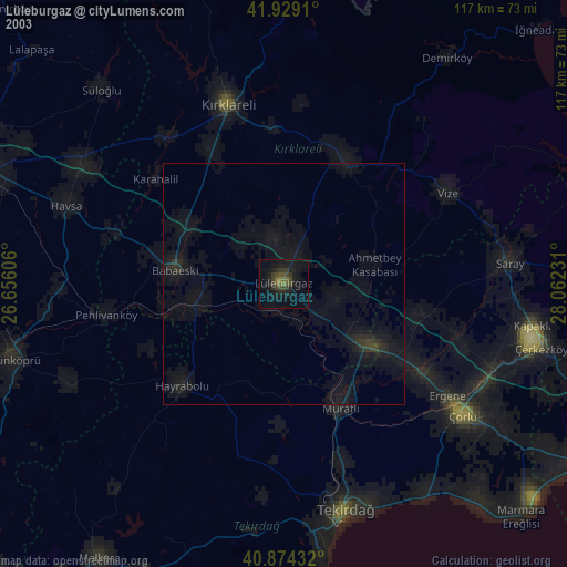
» NASA city lights 2003
» Earth at Night: Flat Maps 2012, 2016