Edirne night lights from space
Night Light of Edirne from space (Turkey) Src. Average luminocity for 10x10km area is 46.1769% and for 50x50km: 6.4468%.
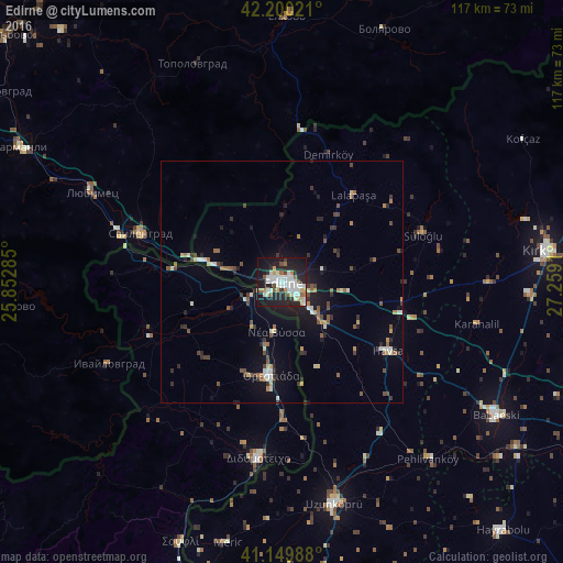
Analysis of Edirne night lights 2016
Square area 10x10 km:
 9.42%
9.42%90-99
15.75%80-89
3.73%70-79
3.41%60-69
3.9%50-59
4.38%40-49
1.79%30-39
3.41%20-29
18.83%10-19
30.52%0-9
4.87%Square area 50x50 km:
0.55%90-99
1.39%80-89
0.49%70-79
0.52%60-69
0.66%50-59
0.88%40-49
1.02%30-39
0.83%20-29
1.79%10-19
4.46%0-9
87.41%Clear (daylight) street map image can be seen on geolist.org.
Map coordinates:
42° 12' 0.8" North, 25° 51' 10.3" East
41° 40' 37.9" North, 26° 33' 21.5" East
41° 8' 59.6" North, 27° 15' 32.8" East
Some cities around Edirne sort by population:
• Uzunköprü
47 km =29.2 mi,  166°
166°
• Babaeski
52.3 km =32.5 mi,  121°
121°
• Svilengrad, BG
31.2 km =19.4 mi,  288°
288°
• Orestiáda, GR
19.5 km =12.1 mi,  186°
186°
• Didymóteicho, GR
36.9 km =22.9 mi, 187°
• Lyubimets, BG
42.9 km =26.7 mi, 293°
• Havsa
26.3 km =16.3 mi, 122°
• Topolovgrad, BG
48.8 km =30.3 mi,  337°
337°
747712 (p: 126,470)
Sources (retrieved 2019-11-25):
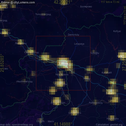
» NASA, Earths city lights 1995
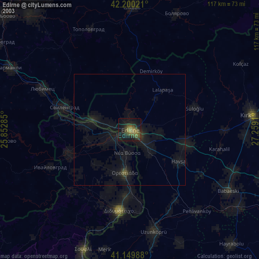
» NASA city lights 2003
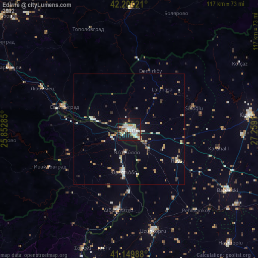
» Earth at Night: Flat Maps 2012, 2016