Eşme night lights from space
Night Light of Eşme (Uşak) from space (Turkey) Src. Average luminocity for 10x10km area is 16.5503% and for 50x50km: 3.8489%.
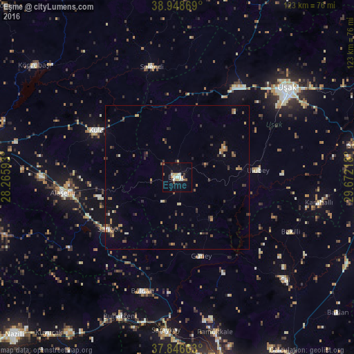
Analysis of Eşme night lights 2016
Square area 10x10 km:
 0.81%
0.81%90-99
5.36%80-89
0.65%70-79
2.6%60-69
1.95%50-59
2.11%40-49
0.32%30-39
1.79%20-29
0.49%10-19
8.6%0-9
75.32%Square area 50x50 km:
0.09%90-99
0.48%80-89
0.29%70-79
0.54%60-69
0.45%50-59
0.75%40-49
0.68%30-39
1.01%20-29
0.88%10-19
1.34%0-9
93.5%Clear (daylight) street map image can be seen on geolist.org.
Map coordinates:
38° 56' 55.3" North, 28° 15' 57.3" East
38° 23' 59.1" North, 28° 58' 8.6" East
37° 50' 47.9" North, 29° 40' 19.8" East
Some cities around Eşme sort by population:
• Uşak
48.7 km =30.3 mi,  51°
51°
• Alaşehir
39.8 km =24.7 mi,  262°
262°
• Kula
32.3 km =20.1 mi,  300°
300°
• Buldan
41.3 km =25.7 mi,  197°
197°
• Sarıgöl
29.7 km =18.5 mi,  233°
233°
• Selendi
39.3 km =24.4 mi,  347°
347°
• Buharkent
52.3 km =32.5 mi, 202°
• Ulubey
28.2 km =17.5 mi,  85°
85°
315183 (p: 11,000)
Sources (retrieved 2019-11-25):
» Earth at Night: Flat Maps 2012, 2016