Uşak night lights from space
Night Light of Uşak from space (Turkey) Src. Average luminocity for 10x10km area is 64.4235% and for 50x50km: 8.5023%.
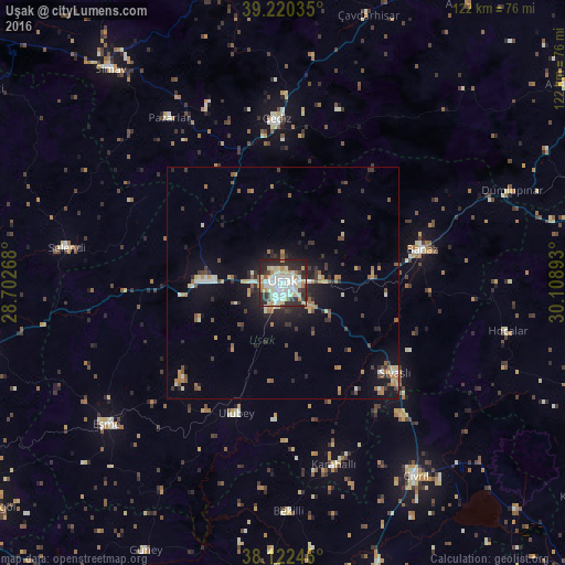
Analysis of Uşak night lights 2016
Square area 10x10 km:
 12.41%
90-99
26.19%80-89
7.99%70-79
8.33%60-69
4.25%50-59
0.68%40-49
3.74%30-39
8.5%20-29
23.81%10-19
4.08%0-9
0%Square area 50x50 km:
0.62%90-99
1.73%80-89
0.89%70-79
1.05%60-69
1.22%50-59
0.91%40-49
1.02%30-39
1.55%20-29
2.61%10-19
5.19%0-9
83.22%Clear (daylight) street map image can be seen on geolist.org.
Map coordinates:
39° 13' 13.3" North, 28° 42' 9.6" East
38° 40' 24.6" North, 29° 24' 20.9" East
38° 7' 20.9" North, 30° 6' 32.1" East
Some cities around Uşak sort by population:
• Gediz
35.6 km =22.1 mi,  357°
357°
• Banaz
30.9 km =19.2 mi,  76°
76°
• Eşme
48.7 km =30.3 mi,  231°
231°
• Selendi
47.3 km =29.4 mi,  279°
279°
• Sivaslı
30.9 km =19.2 mi,  128°
128°
• Pazarlar
43.2 km =26.8 mi,  325°
325°
• Ulubey
29.9 km =18.6 mi,  199°
199°
• Şaphane
42.4 km =26.3 mi,  337°
337°
298299 (p: 152,862)
Sources (retrieved 2019-11-25):
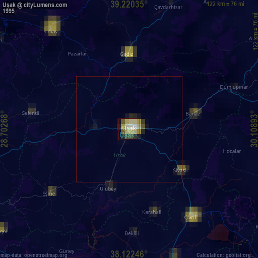
» NASA, Earths city lights 1995
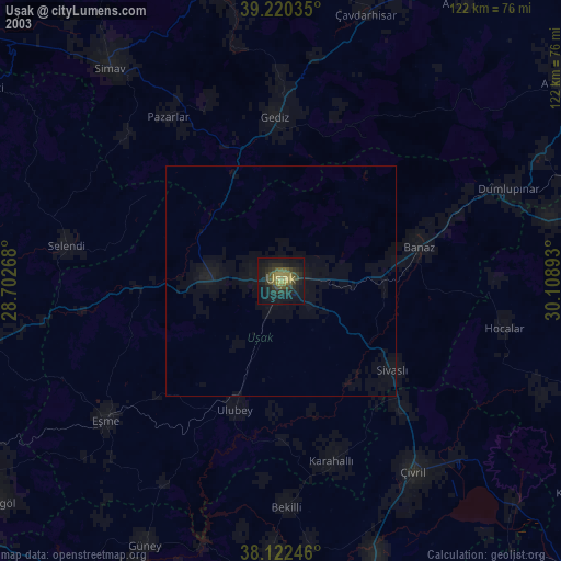
» NASA city lights 2003
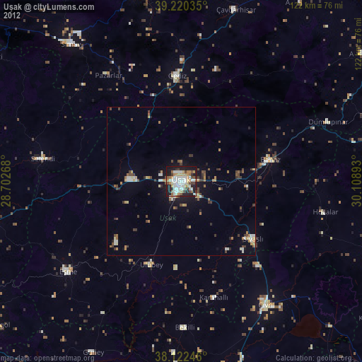
» Earth at Night: Flat Maps 2012, 2016