Kula night lights from space
Night Light of Kula (Manisa) from space (Turkey) Src. Average luminocity for 10x10km area is 20.0584% and for 50x50km: 6.066%.
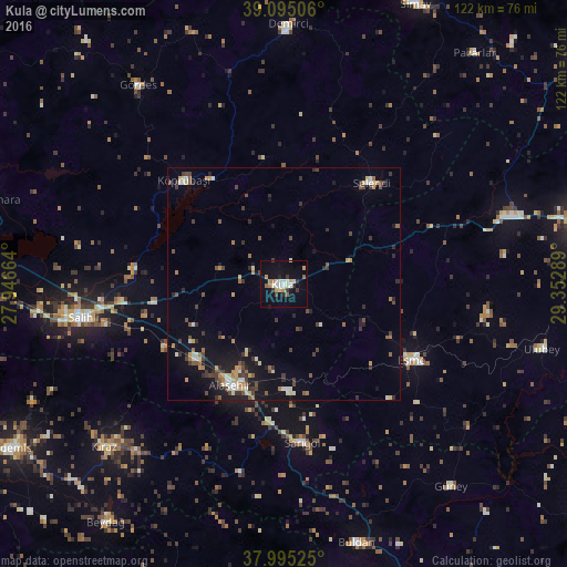
Analysis of Kula night lights 2016
Square area 10x10 km:
100  2.27%
2.27%
90-99 3.9%
80-89 2.6%
70-79 2.6%
60-69 1.95%
50-59 1.95%
40-49 0.32%
30-39 3.08%
20-29 2.92%
10-19 14.77%
0-9 63.64%
2.27%90-99
3.9%80-89
2.6%70-79
2.6%60-69
1.95%50-59
1.95%40-49
0.32%30-39
3.08%20-29
2.92%10-19
14.77%0-9
63.64%Square area 50x50 km:
100 0.3%
90-99 0.97%
80-89 0.68%
70-79 0.74%
60-69 0.7%
50-59 0.71%
40-49 1.1%
30-39 1.51%
20-29 1.19%
10-19 4.28%
0-9 87.83%
0.3%90-99
0.97%80-89
0.68%70-79
0.74%60-69
0.7%50-59
0.71%40-49
1.1%30-39
1.51%20-29
1.19%10-19
4.28%0-9
87.83%Clear (daylight) street map image can be seen on geolist.org.
Map coordinates:
39° 5' 42.2" North, 27° 56' 47.9" East
38° 32' 50.1" North, 28° 38' 59.1" East
37° 59' 42.9" North, 29° 21' 10.4" East
Some cities around Kula sort by population:
• Salihli
44.3 km =27.5 mi,  260°
260°
• Alaşehir
24.7 km =15.3 mi,  207°
207°
• Demirci
55.5 km =34.5 mi,  0°
0°
• Sarıgöl
34.5 km =21.4 mi,  173°
173°
• Kiraz
52.4 km =32.6 mi,  227°
227°
• Gördes
53 km =32.9 mi,  323°
323°
• Eşme
32.3 km =20.1 mi,  120°
120°
• Selendi
29 km =18 mi,  40°
40°
305810 (p: 31,100)
Sources (retrieved 2019-11-25):
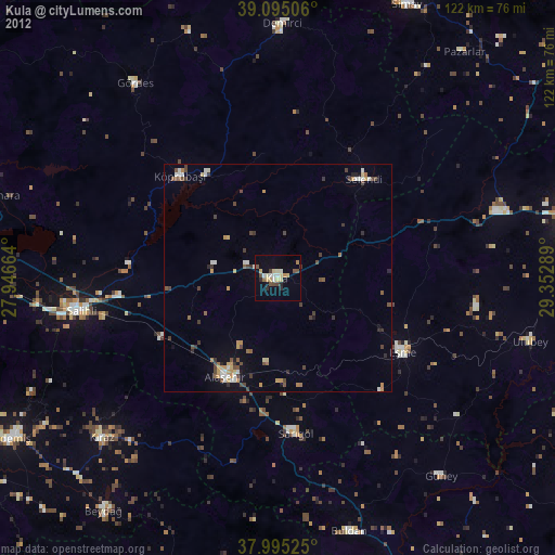
» Earth at Night: Flat Maps 2012, 2016