Alaşehir night lights from space
Night Light of Alaşehir (Manisa) from space (Turkey) Src. Average luminocity for 10x10km area is 37.1105% and for 50x50km: 9.3978%.
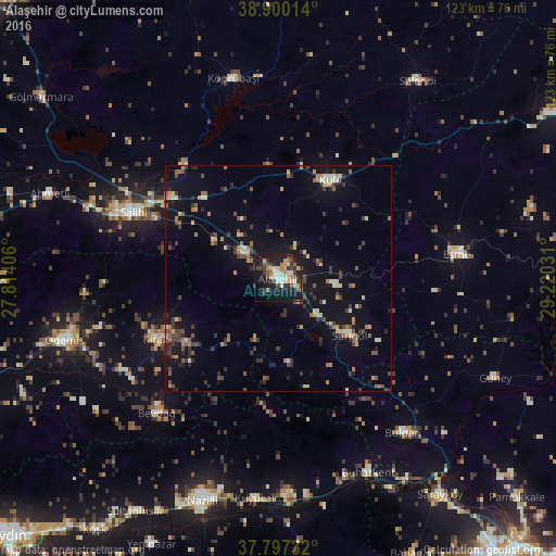
Analysis of Alaşehir night lights 2016
Square area 10x10 km:
 3.06%
3.06%90-99
6.12%80-89
6.63%70-79
5.44%60-69
3.91%50-59
3.06%40-49
8.16%30-39
9.35%20-29
6.29%10-19
38.95%0-9
9.01%Square area 50x50 km:
0.32%90-99
1.13%80-89
1.04%70-79
1.04%60-69
1.29%50-59
1.23%40-49
1.84%30-39
2.31%20-29
1.93%10-19
8.36%0-9
79.5%Clear (daylight) street map image can be seen on geolist.org.
Map coordinates:
38° 54' 0.5" North, 27° 48' 50.6" East
38° 21' 3" North, 28° 31' 1.8" East
37° 47' 50.4" North, 29° 13' 13.1" East
Some cities around Alaşehir sort by population:
• Salihli
35.4 km =22 mi,  294°
294°
• Kula
24.7 km =15.3 mi,  27°
27°
• Buldan
43.7 km =27.2 mi,  141°
141°
• Sarıgöl
20 km =12.4 mi,  128°
128°
• Kiraz
30.4 km =18.9 mi,  243°
243°
• Eşme
39.8 km =24.7 mi,  82°
82°
• Buharkent
47.3 km =29.4 mi,  155°
155°
• Kuyucak
48.9 km =30.4 mi,  185°
185°
324172 (p: 48,147)
Sources (retrieved 2019-11-25):
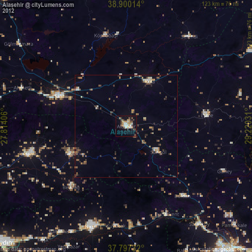
» Earth at Night: Flat Maps 2012, 2016