Topolovgrad night lights from space
Night Light of Topolovgrad (Haskovo) from space (Bulgaria) Src. Average luminocity for 10x10km area is 0.3621% and for 50x50km: 0.567%.
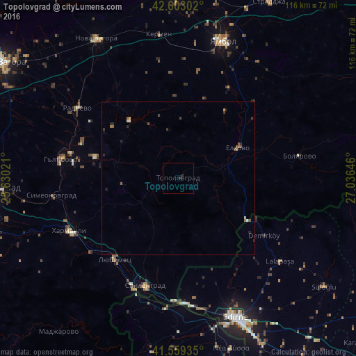
Analysis of Topolovgrad night lights 2016
Square area 10x10 km:
 0%
0%90-99
0%80-89
0%70-79
0%60-69
0%50-59
0%40-49
0%30-39
0.3%20-29
0.91%10-19
0%0-9
98.79%Square area 50x50 km:
0.04%90-99
0.03%80-89
0.05%70-79
0.04%60-69
0.08%50-59
0.21%40-49
0.08%30-39
0.2%20-29
0.24%10-19
0.12%0-9
98.92%Clear (daylight) street map image can be seen on geolist.org.
Map coordinates:
42° 36' 10.9" North, 25° 37' 48.8" East
42° 4' 60" North, 26° 19' 60" East
41° 33' 33.7" North, 27° 2' 11.3" East
Some cities around Topolovgrad sort by population:
• Yambol
46.5 km =28.9 mi,  17°
17°
• Svilengrad
36.9 km =22.9 mi,  197°
197°
• Harmanli
39.5 km =24.5 mi,  245°
245°
• Radnevo
40.8 km =25.4 mi,  306°
306°
• Elhovo
21.4 km =13.3 mi,  64°
64°
• Gŭlŭbovo
40.3 km =25 mi,  277°
277°
• Lyubimets
34.6 km =21.5 mi,  216°
216°
• Simeonovgrad
41.6 km =25.8 mi,  262°
262°
726384 (p: 6,464)
Sources (retrieved 2019-11-25):
» Earth at Night: Flat Maps 2012, 2016