Uzunköprü night lights from space
Night Light of Uzunköprü (Edirne) from space (Turkey) Src. Average luminocity for 10x10km area is 19.9529% and for 50x50km: 3.8648%.
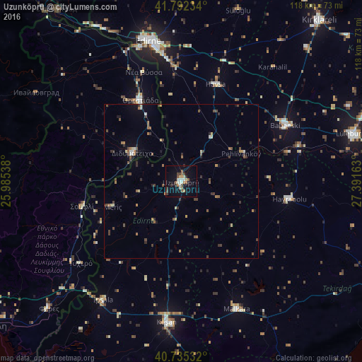
Analysis of Uzunköprü night lights 2016
Square area 10x10 km:
 1.79%
1.79%90-99
4.06%80-89
2.6%70-79
0.65%60-69
2.44%50-59
3.41%40-49
3.73%30-39
2.27%20-29
1.62%10-19
16.23%0-9
61.2%Square area 50x50 km:
0.14%90-99
0.4%80-89
0.35%70-79
0.38%60-69
0.5%50-59
0.83%40-49
0.94%30-39
1%20-29
0.75%10-19
1.32%0-9
93.39%Clear (daylight) street map image can be seen on geolist.org.
Map coordinates:
41° 47' 32.4" North, 25° 59' 7.4" East
41° 15' 57.5" North, 26° 41' 18.6" East
40° 44' 7.2" North, 27° 23' 29.9" East
Some cities around Uzunköprü sort by population:
• Keşan
45.9 km =28.5 mi,  186°
186°
• Malkara
45.4 km =28.2 mi,  156°
156°
• Babaeski
38.5 km =23.9 mi,  61°
61°
• Hayrabolu
35.5 km =22.1 mi,  99°
99°
• Orestiáda, GR
29.5 km =18.3 mi,  333°
333°
• Didymóteicho, GR
18.5 km =11.5 mi,  299°
299°
• İpsala
46.1 km =28.6 mi,  213°
213°
• Havsa
33.4 km =20.8 mi,  19°
19°
738251 (p: 36,470)
Sources (retrieved 2019-11-25):
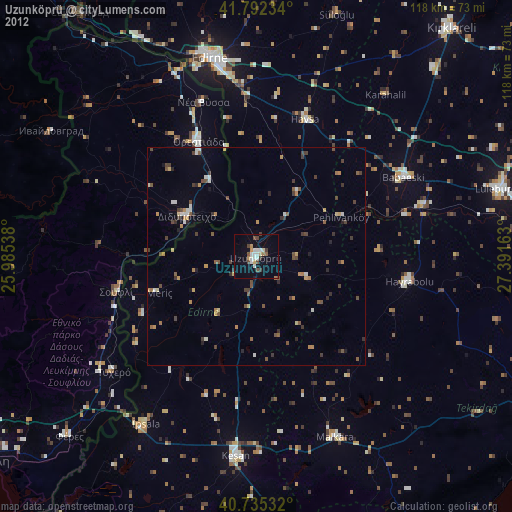
» Earth at Night: Flat Maps 2012, 2016