Batifa night lights from space
Night Light of Batifa (Dahūk) from space (Iraq) Src. Average luminocity for 10x10km area is 2.6582% and for 50x50km: 2.9099%.
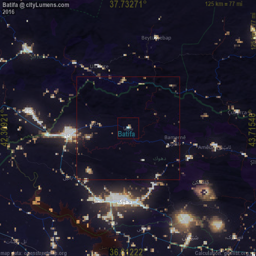
Analysis of Batifa night lights 2016
Square area 10x10 km:
 0%
0%90-99
1.36%80-89
0%70-79
0%60-69
1.36%50-59
0%40-49
0.51%30-39
0.17%20-29
0%10-19
0%0-9
96.6%Square area 50x50 km:
0.03%90-99
0.27%80-89
0.39%70-79
0.27%60-69
0.41%50-59
0.4%40-49
0.66%30-39
1.01%20-29
0.75%10-19
1.64%0-9
94.17%Clear (daylight) street map image can be seen on geolist.org.
Map coordinates:
37° 43' 57.8" North, 42° 18' 33.2" East
37° 10' 28.3" North, 43° 0' 44.4" East
36° 36' 44" North, 43° 42' 55.7" East
Some cities around Batifa sort by population:
• Dihok
34.3 km =21.3 mi,  183°
183°
• Sīnah
40.8 km =25.4 mi, 176°
• Zaxo
29.1 km =18.1 mi,  264°
264°
• Silopi, TR
49.2 km =30.6 mi,  279°
279°
• Şırnak, TR
62.1 km =38.6 mi,  307°
307°
• Çukurca, TR
53.9 km =33.5 mi,  81°
81°
• Uludere, TR
32.8 km =20.4 mi,  334°
334°
• Beytüşşebap, TR
45.3 km =28.1 mi,  17°
17°
97825 (p: 26,000)
Sources (retrieved 2019-11-25):
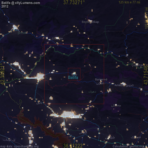
» Earth at Night: Flat Maps 2012, 2016