Hakkâri night lights from space
Night Light of Hakkâri from space (Turkey) Src. Average luminocity for 10x10km area is 30.6361% and for 50x50km: 1.9908%.
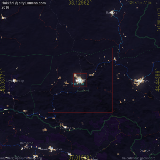

Analysis of Hakkâri night lights 2016
Square area 10x10 km:
 4.93%
4.93%90-99
8.5%80-89
3.57%70-79
3.4%60-69
1.7%50-59
1.87%40-49
3.4%30-39
3.74%20-29
1.19%10-19
37.59%0-9
30.1%Square area 50x50 km:
0.2%90-99
0.34%80-89
0.17%70-79
0.16%60-69
0.17%50-59
0.26%40-49
0.33%30-39
0.5%20-29
0.19%10-19
1.87%0-9
95.8%Clear (daylight) street map image can be seen on geolist.org.
Map coordinates:
38° 7' 46.6" North, 43° 2' 15.8" East
37° 34' 28" North, 43° 44' 27" East
37° 0' 54.3" North, 44° 26' 38.3" East
Some cities around Hakkâri sort by population:
• Yüksekova
48.1 km =29.9 mi,  90°
90°
• Batifa, IQ
78.2 km =48.6 mi,  235°
235°
• ‘Aqrah, IQ
91.5 km =56.9 mi,  171°
171°
• Şemdinli
79.4 km =49.3 mi,  112°
112°
• Başkale
57.7 km =35.9 mi,  24°
24°
• Çukurca
38 km =23.6 mi,  197°
197°
• Uludere
79.8 km =49.6 mi,  259°
259°
• Beytüşşebap
50.7 km =31.5 mi,  268°
268°
318137 (p: 77,699)
Sources (retrieved 2019-11-25):
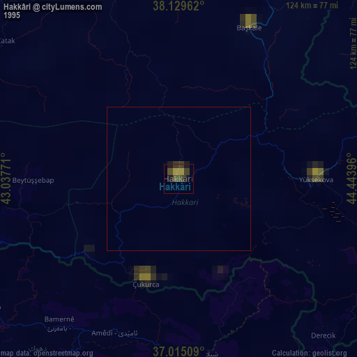
» NASA, Earths city lights 1995
» NASA city lights 2003
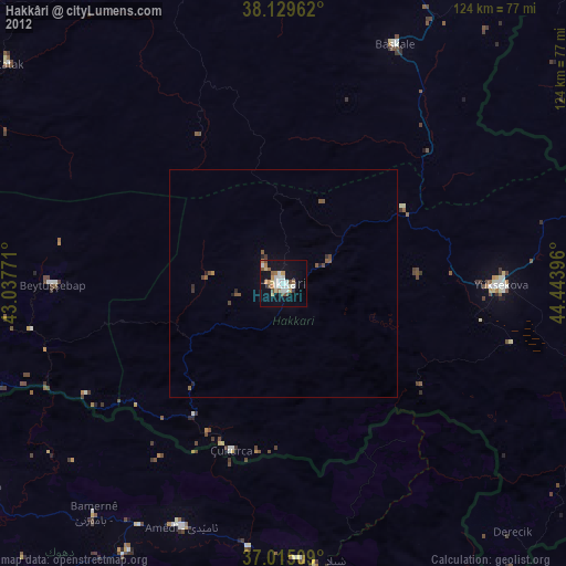
» Earth at Night: Flat Maps 2012, 2016