Suruç night lights from space
Night Light of Suruç (Şanlıurfa) from space (Turkey) Src. Average luminocity for 10x10km area is 33.125% and for 50x50km: 6.8185%.
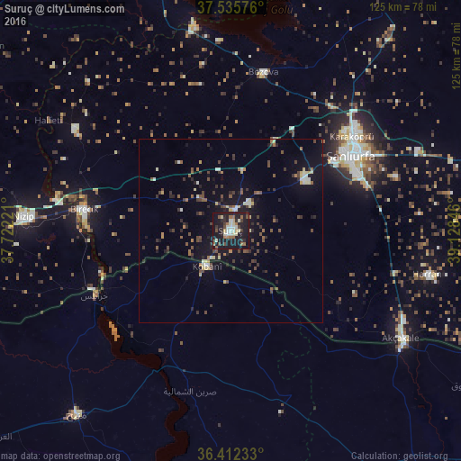
Analysis of Suruç night lights 2016
Square area 10x10 km:
 2.76%
2.76%90-99
6.01%80-89
5.84%70-79
0.32%60-69
5.36%50-59
3.73%40-49
4.06%30-39
5.36%20-29
10.88%10-19
50.81%0-9
4.87%Square area 50x50 km:
0.29%90-99
0.81%80-89
0.99%70-79
0.27%60-69
0.85%50-59
1.04%40-49
1.49%30-39
1.4%20-29
1.74%10-19
5.88%0-9
85.25%Clear (daylight) street map image can be seen on geolist.org.
Map coordinates:
37° 32' 8.7" North, 37° 43' 20" East
36° 58' 34" North, 38° 25' 31.2" East
36° 24' 44.4" North, 39° 7' 42.5" East
Some cities around Suruç sort by population:
• Şanlıurfa
39 km =24.2 mi,  57°
57°
• Nizip
56.2 km =34.9 mi,  273°
273°
• ‘Ayn al ‘Arab, SY
11.4 km =7.1 mi,  213°
213°
• Birecik
40.1 km =24.9 mi,  277°
277°
• Akçakale
55 km =34.2 mi,  122°
122°
• Jarābulus, SY
40.8 km =25.4 mi,  244°
244°
• Bozova
43.9 km =27.3 mi,  11°
11°
• Harran
55.4 km =34.4 mi,  103°
103°
300075 (p: 46,694)
Sources (retrieved 2019-11-25):
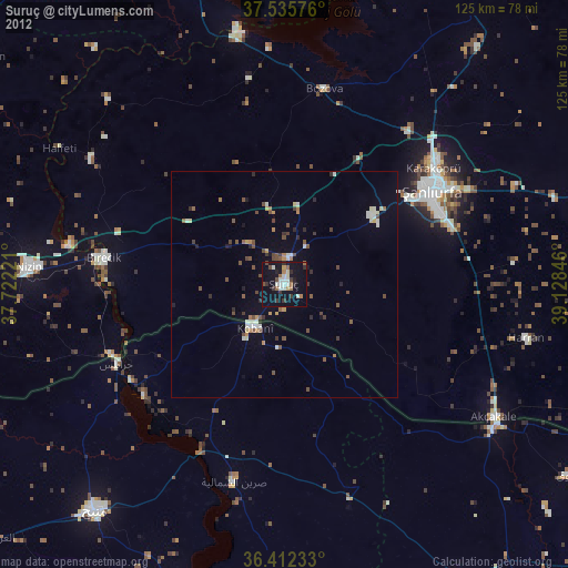
» Earth at Night: Flat Maps 2012, 2016