Thala night lights from space
Night Light of Thala (Al Qaşrayn) from space (Tunisia) Src. Average luminocity for 10x10km area is 4.6136% and for 50x50km: 0.5783%.
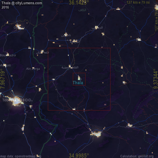
Analysis of Thala night lights 2016
Square area 10x10 km:
 0%
0%90-99
0%80-89
2.56%70-79
1.65%60-69
0.18%50-59
0%40-49
0.73%30-39
0%20-29
0%10-19
0.18%0-9
94.69%Square area 50x50 km:
0.03%90-99
0.04%80-89
0.27%70-79
0.07%60-69
0.03%50-59
0.06%40-49
0.11%30-39
0.06%20-29
0.1%10-19
0.01%0-9
99.23%Clear (daylight) street map image can be seen on geolist.org.
Map coordinates:
36° 8' 32.3" North, 7° 58' 1.9" East
35° 34' 20.8" North, 8° 40' 13.1" East
34° 59' 54.6" North, 9° 22' 24.4" East
Some cities around Thala sort by population:
• Tébessa, DZ
52.9 km =32.9 mi,  249°
249°
• Kasserine
47.5 km =29.5 mi,  161°
161°
• Hammamet, DZ
66.5 km =41.3 mi,  258°
258°
• Tajerouine
37.1 km =23.1 mi,  343°
343°
• Maktar
57.5 km =35.7 mi,  56°
56°
• As Sars
64.3 km =40 mi,  29°
29°
• Sbiba
36.6 km =22.7 mi,  95°
95°
• El Ksour
40.9 km =25.4 mi, 28°
2464795 (p: 16,068)
Sources (retrieved 2019-11-25):
» Earth at Night: Flat Maps 2012, 2016