Hammamet night lights from space
Night Light of Hammamet (Tébessa) from space (Algeria) Src. Average luminocity for 10x10km area is 11.1209% and for 50x50km: 4.4056%.
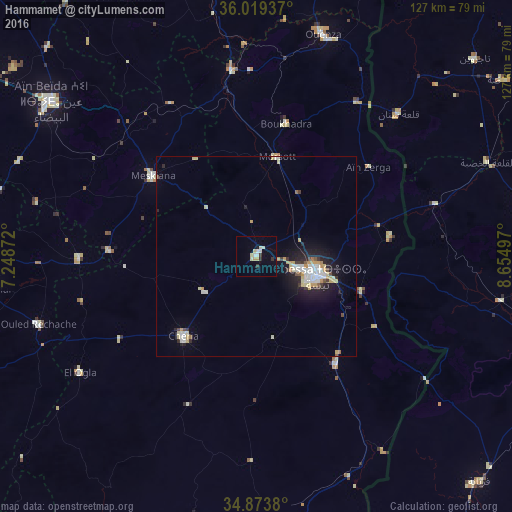
Analysis of Hammamet night lights 2016
Square area 10x10 km:
 1.65%
1.65%90-99
1.28%80-89
3.11%70-79
2.01%60-69
0%50-59
0%40-49
0%30-39
2.2%20-29
0.73%10-19
1.1%0-9
87.91%Square area 50x50 km:
0.76%90-99
0.67%80-89
0.79%70-79
0.77%60-69
0.15%50-59
0.17%40-49
0.25%30-39
0.5%20-29
0.98%10-19
2.87%0-9
92.09%Clear (daylight) street map image can be seen on geolist.org.
Map coordinates:
36° 1' 9.7" North, 7° 14' 55.4" East
35° 26' 55" North, 7° 57' 6.6" East
34° 52' 25.7" North, 8° 39' 17.9" East
Some cities around Hammamet sort by population:
• Tébessa
16.4 km =10.2 mi,  107°
107°
• Khenchela
73.3 km =45.5 mi,  268°
268°
• Aïn Beïda
63.6 km =39.5 mi,  307°
307°
• Cheria
26.6 km =16.5 mi,  222°
222°
• El Aouinet
46.9 km =29.1 mi,  352°
352°
• Meskiana
32.8 km =20.4 mi, 308°
• Tajerouine, TN
73.3 km =45.5 mi,  47°
47°
• Thala, TN
66.5 km =41.3 mi,  78°
78°
2494548 (p: 28,536)
Sources (retrieved 2019-11-25):
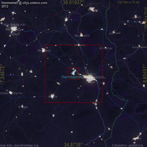
» Earth at Night: Flat Maps 2012, 2016