As Sars night lights from space
Night Light of As Sars (Kef) from space (Tunisia) Src. Average luminocity for 10x10km area is 3.3645% and for 50x50km: 0.9946%.
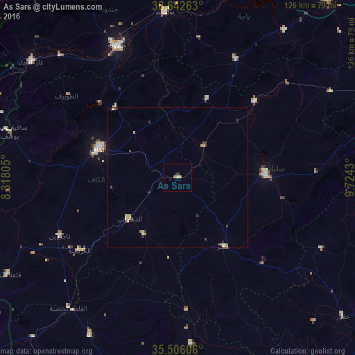
Analysis of As Sars night lights 2016
Square area 10x10 km:
 0%
0%90-99
0.73%80-89
0%70-79
1.47%60-69
0.73%50-59
0%40-49
0.37%30-39
1.1%20-29
0%10-19
0.73%0-9
94.87%Square area 50x50 km:
0.03%90-99
0.05%80-89
0.39%70-79
0.19%60-69
0.08%50-59
0.01%40-49
0.16%30-39
0.29%20-29
0.11%10-19
0.03%0-9
98.66%Clear (daylight) street map image can be seen on geolist.org.
Map coordinates:
36° 38' 33.5" North, 8° 19' 5" East
36° 4' 35" North, 9° 1' 16.2" East
35° 30' 21.8" North, 9° 43' 27.5" East
Some cities around As Sars sort by population:
• El Kef
30.4 km =18.9 mi,  290°
290°
• Siliana
31.4 km =19.5 mi,  88°
88°
• Tajerouine
46.9 km =29.1 mi,  244°
244°
• Maktar
29.2 km =18.1 mi,  146°
146°
• Tabursuq
46.9 km =29.1 mi,  25°
25°
• Gafour
38.4 km =23.9 mi,  45°
45°
• Le Krib
29.8 km =18.5 mi,  20°
20°
• El Ksour
23.5 km =14.6 mi,  211°
211°
2473177 (p: 10,979)
Sources (retrieved 2019-11-25):
» Earth at Night: Flat Maps 2012, 2016