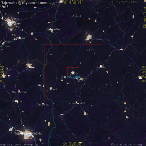
Tajerouine night lights from space
Night Light of Tajerouine (Kef) from space (Tunisia) Src. Average luminocity for 10x10km area is 6.5531% and for 50x50km: 1.1291%.
Analysis of Tajerouine night lights 2016
Square area 10x10 km:
 0.55%
0.55%90-99
0.18%80-89
2.2%70-79
0.73%60-69
1.1%50-59
1.1%40-49
0.73%30-39
0.73%20-29
0%10-19
0.73%0-9
91.94%Square area 50x50 km:
0.02%90-99
0.04%80-89
0.5%70-79
0.18%60-69
0.15%50-59
0.1%40-49
0.2%30-39
0.1%20-29
0.05%10-19
0.03%0-9
98.63%Clear (daylight) street map image can be seen on geolist.org.
Map coordinates:
36° 27' 33.5" North, 7° 50' 58.7" East
35° 53' 30.3" North, 8° 33' 9.9" East
35° 19' 12.3" North, 9° 15' 21.2" East
Some cities around Tajerouine sort by population:
• El Kef
34.3 km =21.3 mi,  23°
23°
• El Aouinet, DZ
60.1 km =37.3 mi,  267°
267°
• Thala
37.1 km =23.1 mi,  163°
163°
• Maktar
58.5 km =36.4 mi,  93°
93°
• As Sars
46.9 km =29.1 mi,  64°
64°
• Sakiet Sidi Youssef
40.9 km =25.4 mi,  334°
334°
• Sbiba
60.9 km =37.8 mi,  129°
129°
• El Ksour
29.9 km =18.6 mi, 89°
2464809 (p: 18,909)
Sources (retrieved 2019-11-25):
» Earth at Night: Flat Maps 2012, 2016