El Kef night lights from space
Night Light of El Kef (Kef) from space (Tunisia) Src. Average luminocity for 10x10km area is 21.9493% and for 50x50km: 1.3662%.
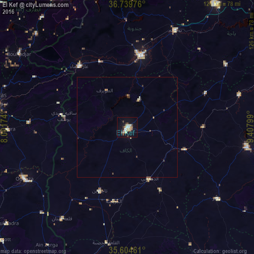
Analysis of El Kef night lights 2016
Square area 10x10 km:
 2.97%
2.97%90-99
2.62%80-89
4.9%70-79
3.15%60-69
1.05%50-59
1.4%40-49
3.32%30-39
4.37%20-29
0.7%10-19
16.78%0-9
58.74%Square area 50x50 km:
0.12%90-99
0.12%80-89
0.34%70-79
0.23%60-69
0.07%50-59
0.06%40-49
0.21%30-39
0.39%20-29
0.1%10-19
0.66%0-9
97.71%Clear (daylight) street map image can be seen on geolist.org.
Map coordinates:
36° 44' 23.1" North, 8° 0' 6.3" East
36° 10' 27.3" North, 8° 42' 17.5" East
35° 36' 16.6" North, 9° 24' 28.8" East
Some cities around El Kef sort by population:
• Jendouba
37 km =23 mi,  10°
10°
• Tajerouine
34.3 km =21.3 mi,  203°
203°
• Maktar
56.8 km =35.3 mi,  128°
128°
• Tabursuq
57.9 km =36 mi,  57°
57°
• As Sars
30.4 km =18.9 mi,  110°
110°
• Le Krib
42.3 km =26.3 mi,  66°
66°
• Sakiet Sidi Youssef
31.8 km =19.8 mi,  279°
279°
• El Ksour
34.9 km =21.7 mi,  152°
152°
2473634 (p: 47,979)
Sources (retrieved 2019-11-25):
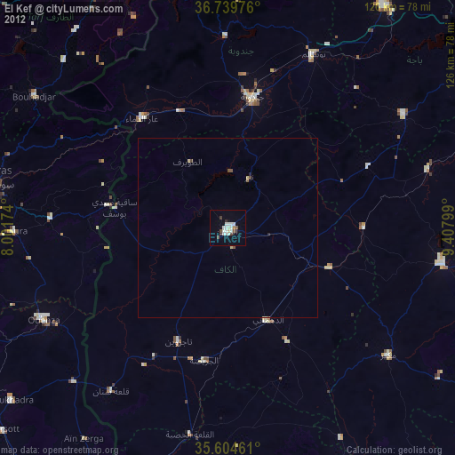
» Earth at Night: Flat Maps 2012, 2016