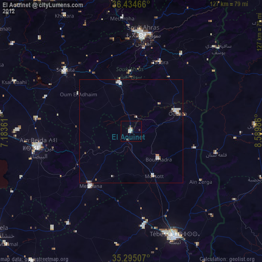
El Aouinet night lights from space
Night Light of El Aouinet (Oum el Bouaghi) from space (Algeria) Src. Average luminocity for 10x10km area is 7.7692% and for 50x50km: 2.1128%.
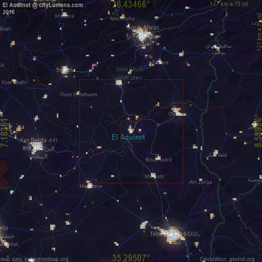
Analysis of El Aouinet night lights 2016
Square area 10x10 km:
 0.87%
0.87%90-99
1.05%80-89
0.87%70-79
2.45%60-69
0.7%50-59
0.7%40-49
0.52%30-39
0.17%20-29
1.4%10-19
1.05%0-9
90.21%Square area 50x50 km:
0.26%90-99
0.32%80-89
0.39%70-79
0.44%60-69
0.26%50-59
0.19%40-49
0.15%30-39
0.08%20-29
0.17%10-19
0.23%0-9
97.51%Clear (daylight) street map image can be seen on geolist.org.
Map coordinates:
36° 26' 4.8" North, 7° 11' 1" East
35° 52' 0.9" North, 7° 53' 12.2" East
35° 17' 42.3" North, 8° 35' 23.5" East
Some cities around El Aouinet sort by population:
• Tébessa
55.7 km =34.6 mi,  157°
157°
• Souk Ahras
47 km =29.2 mi,  7°
7°
• Aïn Beïda
45.2 km =28.1 mi,  260°
260°
• Sedrata
43.1 km =26.8 mi,  312°
312°
• Meskiana
33 km =20.5 mi,  217°
217°
• Hammamet
46.9 km =29.1 mi,  172°
172°
• Tajerouine, TN
60.1 km =37.3 mi,  87°
87°
• Sakiet Sidi Youssef, TN
57.8 km =35.9 mi,  46°
46°
2498667 (p: 32,971)
Sources (retrieved 2019-11-25):
» Earth at Night: Flat Maps 2012, 2016