Sakiet Sidi Youssef night lights from space
Night Light of Sakiet Sidi Youssef (Kef) from space (Tunisia) Src. Average luminocity for 10x10km area is 5.3829% and for 50x50km: 0.8269%.
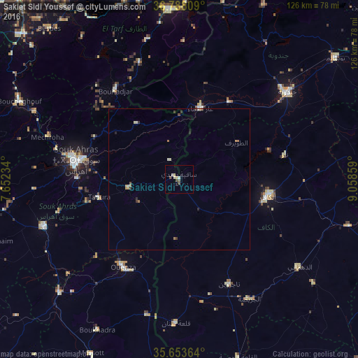
Analysis of Sakiet Sidi Youssef night lights 2016
Square area 10x10 km:
 0.7%
0.7%90-99
0.7%80-89
1.4%70-79
0.7%60-69
0%50-59
0.7%40-49
1.75%30-39
0.35%20-29
0%10-19
0.7%0-9
93.01%Square area 50x50 km:
0.08%90-99
0.09%80-89
0.12%70-79
0.15%60-69
0.13%50-59
0.03%40-49
0.15%30-39
0.21%20-29
0.1%10-19
0.06%0-9
98.87%Clear (daylight) street map image can be seen on geolist.org.
Map coordinates:
36° 47' 17.1" North, 7° 39' 8.4" East
36° 13' 22.5" North, 8° 21' 19.7" East
35° 39' 13.1" North, 9° 3' 30.9" East
Some cities around Sakiet Sidi Youssef sort by population:
• Souk Ahras, DZ
36.9 km =22.9 mi,  281°
281°
• Jendouba
49 km =30.4 mi,  50°
50°
• El Kef
31.8 km =19.8 mi,  99°
99°
• El Aouinet, DZ
57.8 km =35.9 mi,  226°
226°
• El Tarf, DZ
60.6 km =37.7 mi,  356°
356°
• Tajerouine
40.9 km =25.4 mi,  154°
154°
• As Sars
61.9 km =38.5 mi,  105°
105°
• El Ksour
59.9 km =37.2 mi,  127°
127°
2467239 (p: 6,442)
Sources (retrieved 2019-11-25):
» Earth at Night: Flat Maps 2012, 2016