Oued Lill night lights from space
Night Light of Oued Lill (Manouba) from space (Tunisia) Src. Average luminocity for 10x10km area is 49.9253% and for 50x50km: 27.567%.
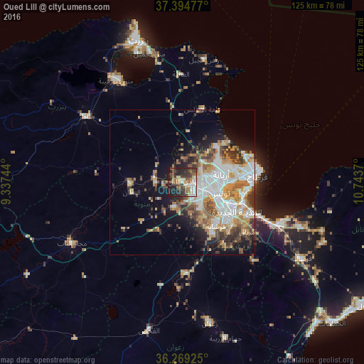
Analysis of Oued Lill night lights 2016
Square area 10x10 km:
 6.82%
6.82%90-99
8.6%80-89
8.44%70-79
5.19%60-69
7.63%50-59
6.17%40-49
9.74%30-39
13.31%20-29
17.05%10-19
17.05%0-9
0%Square area 50x50 km:
6.54%90-99
5.14%80-89
3.28%70-79
4.11%60-69
4.15%50-59
3.1%40-49
3.26%30-39
3.96%20-29
3.98%10-19
8.01%0-9
54.46%Clear (daylight) street map image can be seen on geolist.org.
Map coordinates:
37° 23' 41.2" North, 9° 20' 14.8" East
36° 50' 2.7" North, 10° 2' 26.1" East
36° 16' 9.3" North, 10° 44' 37.3" East
Some cities around Oued Lill sort by population:
• Tunis
11.3 km =7 mi,  98°
98°
• Ariana
13.9 km =8.6 mi,  77°
77°
• La Goulette
23.6 km =14.7 mi,  94°
94°
• Ben Arous
18.4 km =11.4 mi,  118°
118°
• La Mohammedia
20.5 km =12.7 mi,  149°
149°
• Radès
22 km =13.7 mi,  109°
109°
• Manouba
5.6 km =3.5 mi, 118°
• El Battan
17.8 km =11.1 mi,  259°
259°
2464168 (p: 47,101)
Sources (retrieved 2019-11-25):
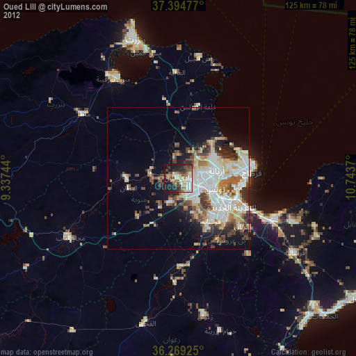
» Earth at Night: Flat Maps 2012, 2016